- Main
- AL-FARABI NEWS LETTERS
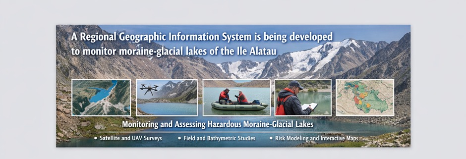
- A Regional Geographic Information System is being developed to monitor moraine-glacial lakes of the Ile Alatau
A Regional Geographic Information System is being developed to monitor moraine-glacial lakes of the Ile Alatau
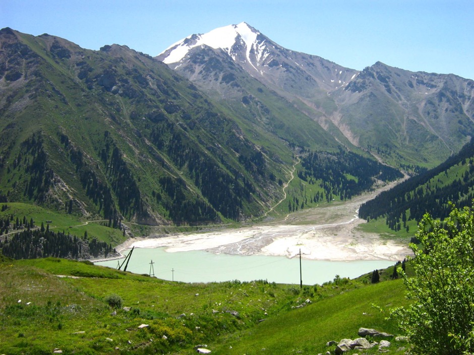
Climate change is significantly influencing natural processes in mountainous regions, increasing the need for modern monitoring and risk assessment technologies. Special attention is given to moraine-glacial lakes located in the river basins of the Ile and Kungey Alatau mountain ranges. This research is being conducted at the Al-Farabi Kazakh National University, where scientists are working on developing advanced methods for natural hazard analysis and reducing the risk of destructive mudflow disasters.
Accelerated glacier melting caused by rising air temperatures leads to an increase in water volume in high-mountain lakes and instability of moraine dams. These processes may result in lake outburst events and the formation of destructive mudflows. Therefore, modern science focuses on applying Geographic Information Systems (GIS), Remote Sensing (RS) technologies, and hydrodynamic modeling for early detection of natural hazards.
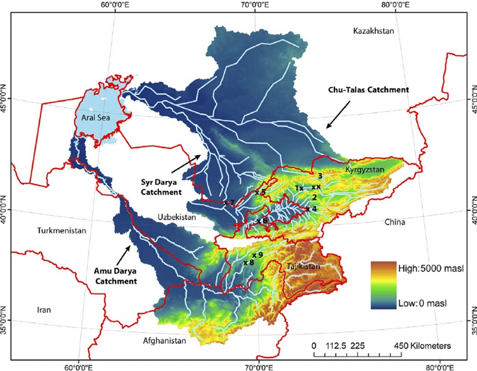
The main objective of the program is to develop a comprehensive system for monitoring, predicting, and preventing moraine-glacial lake outburst events. The research combines ground-based observations, aerial photography, and satellite remote sensing data. This integrated approach enables the study of hard-to-access mountainous areas and provides reliable information about the state of natural water bodies.
The study involves analyzing morphometric lake characteristics, changes in water surface elevation, and lake volume variations. Special attention is given to developing criteria for assessing mudflow hazard levels. Geological features of moraine dams, climatic changes, glacier melting rates, and water level dynamics are considered in the assessment process.
A key component of the program is hydrodynamic modeling of mudflow propagation in case of a potential lake outburst. Two-dimensional flow models are created to simulate water–sediment mass movement, evaluate flow intensity, propagation speed, and destructive potential of mudflow events. The obtained results are used to develop preventive recommendations for reducing natural disaster risks.
The research is conducted by a team of scientists from Al-Farabi Kazakh National University. The project contributes to the development of modern geoinformation technologies and natural risk analysis methods. The program is important for the scientific and technological advancement of Kazakhstan and the improvement of civil protection systems.
The scientific novelty of the project lies in creating an integrated geoinformation platform combining ground observation data, remote sensing information, and mathematical modeling. This approach will improve the accuracy of predicting moraine-glacial lake outbursts and allow rapid identification of high-risk mudflow zones.
The social significance of the program is associated with improving the safety of mountain region populations, reducing economic losses from natural disasters, and enhancing environmental sustainability. The project supports international initiatives aimed at climate change adaptation and disaster risk reduction.
The economic impact of the study lies in reducing costs associated with disaster damage mitigation. The development of early warning systems will help protect infrastructure facilities and increase regional investment attractiveness.
The project also considers international experience in natural hazard monitoring systems. Advanced early warning technologies used in Switzerland, China, and Nepal are adapted to the climatic and geographic conditions of Kazakhstan.
Overall, the development of an integrated mudflow risk management system for moraine-glacial lakes represents an important scientific direction. The research outcomes will form a foundation for improving natural disaster prediction methods, ensuring population safety, and promoting sustainable natural resource management.
Other news