“Modern Geodetic Technologies: From GNSS to 3D Scanning”
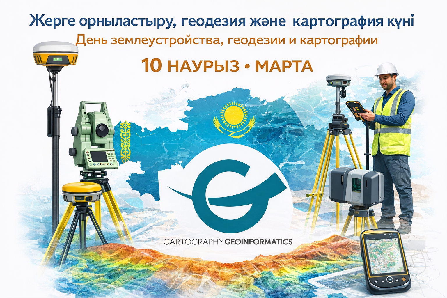
The Department of Cartography and Geoinformatics invites faculty members, master’s students, and undergraduate students to a professional event dedicated to the Day of Land Management, Geodesy and Cartography in the Republic of Kazakhstan.
Event Topic:
“Modern Geodetic Technologies: From GNSS to 3D Scanning”
Date and Time:
March 10, 2026, 14:00–14:50
Venue:
Room B45A
Event Program Includes:
-
demonstration and exhibition of modern geodetic equipment from leading manufacturers;
-
a practice-oriented seminar-training on the application of GNSS technologies and 3D scanning in real-world projects;
-
an interactive Q&A session with invited experts from the geodetic industry.
Speakers:
Representatives of Leica Geosystems Kazakhstan LLP, GEO Master A LLP and GEOKURS LLP.
The event will be of particular interest to those who wish to gain deeper insight into modern solutions in geodesy and cartography, receive practical answers from industry professionals, and expand their professional network.