- Main
- AL-FARABI NEWS LETTERS
- Launch of a Project at Al-Farabi Kazakh National University on Monitoring and Forecasting Water and Land Resources of the Talas River Basin
Launch of a Project at Al-Farabi Kazakh National University on Monitoring and Forecasting Water and Land Resources of the Talas River Basin
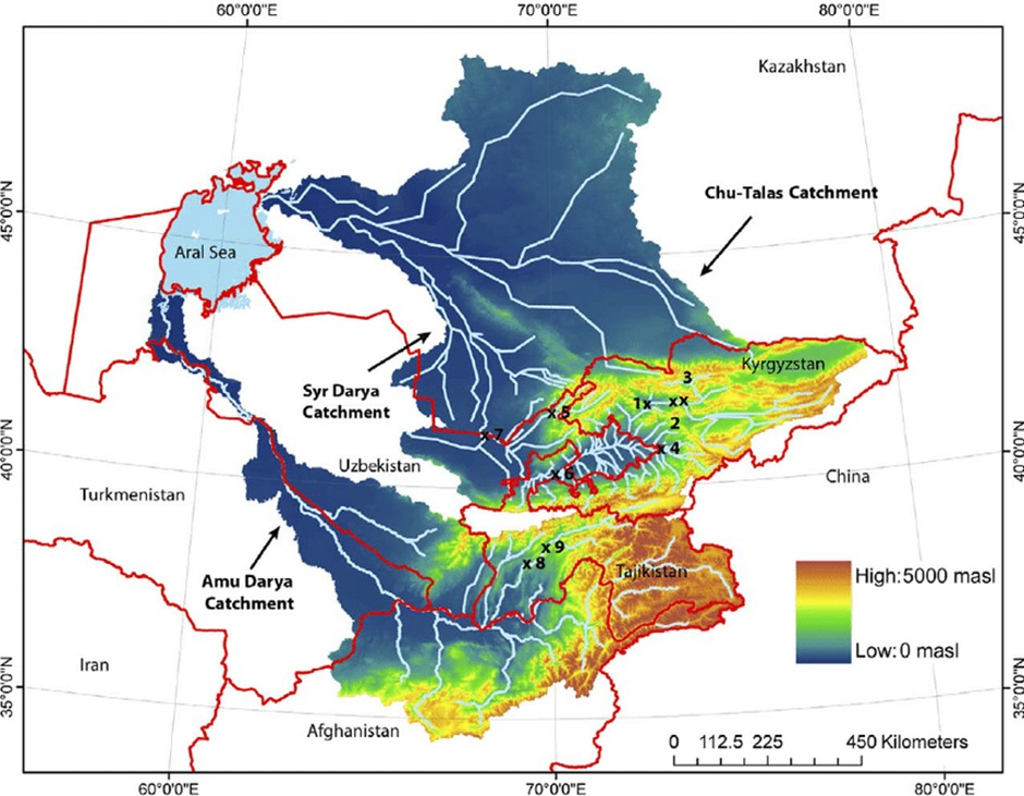
At Al-Farabi Kazakh National University, a scientific and applied project has been launched to monitor and forecast the water and land resources of the Talas River basin under conditions of climate change. The project is planned for 2025–2027 and is being implemented within the priority area of scientific development, “Ecology, Environment and Rational Use of Natural Resources.”
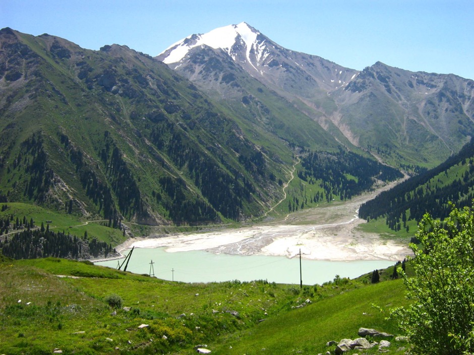
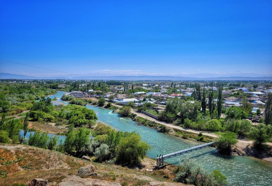
The Talas River basin is one of the key agricultural regions of the Zhambyl Region and plays a strategic role in ensuring regional food security. The area includes approximately 162,000 hectares of cultivated land and is home to more than 340,000 people. The sustainability of agricultural production in this territory directly depends on the condition of water resources and the efficiency of their management.
In recent decades, the region has experienced pronounced climatic transformations, including a decrease in precipitation, an increase in average annual temperatures, and a reduction in glacier area and volume in the Talas and Asa river basins. These changes have led to declining river runoff, more frequent low-water periods, and a persistent irrigation water deficit. In 2023, the shortage of irrigation resources resulted in significant crop losses and economic damage to agricultural producers.
At the same time, the processes of secondary soil salinization are intensifying. These are associated with prolonged irrigation, rising mineralized groundwater, and the inefficiency of collector-drainage systems. Soil degradation leads to reduced fertility, the spread of halophytic vegetation, and the gradual loss of agricultural productivity.
The project aims to conduct a comprehensive assessment of water and land resources using Earth Remote Sensing (ERS) data, Geographic Information Systems (GIS), and field research, as well as to develop forecasting models under different climate scenarios.
The project includes:
● Retrospective analysis of long-term climatic and hydrological data
● Creation of a unified information and analytical database for the Talas River basin
● Development of thematic land degradation maps using NDVI, NDWI, and other spectral indices
● Design of a river runoff forecasting model considering climatic and anthropogenic factors
●
● Identification of sustainability criteria for irrigated and floodplain areas vulnerable to degradation
This interdisciplinary approach will establish links between climate change, water resource dynamics, and the condition of agricultural lands. Special attention will be given to long-term risks for the agricultural sector and the development of adaptive natural resource management mechanisms.
The results are expected to form a scientific foundation for improving water and land management systems, enhancing agricultural efficiency, and ensuring the sustainable development of the Zhambyl Region under increasing climatic pressure.
The implementation of this project represents the university’s contribution to environmental security, rational natural resource management, and the strengthening of national food sustainability.
Other news