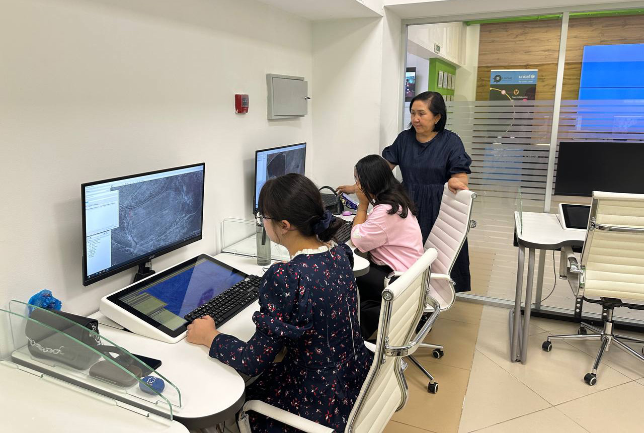
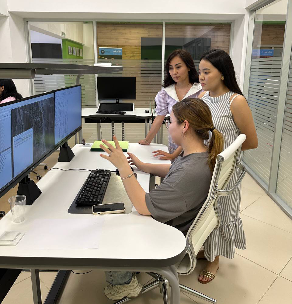
Students of the specialties "Geodesy and Cartography" and "Cadastre" undergo an internship at the Center for Space Technologies and Earth Remote Sensing. This experience provides a unique opportunity not only to deepen their knowledge in the field of geoinformation systems and cartography, but also to contribute to the achievement of sustainable development goals.
At the center, they obtain information about the state of the Earth's surface by processing data from various spacecraft. This data is used to monitor natural resources, track climate change and forecast natural disasters. For example, monitoring land degradation and desertification processes can help shape terrestrial ecosystem conservation and food safety (SDG 15: Terrestrial Ecosystem Conservation).

The center also conducts research to improve water management. Remote sensing can be used to monitor reservoir levels, predict floods and detect pollution. This is directly linked to SDG 6: Clean Water and Sanitation.
Space technology and the benefits of Earth remote sensing allow access to advanced technologies and data processing techniques, interaction with experienced specialists and practical application of the knowledge gained. The Centre works closely with international organizations.
The head of the internship is Nazym Zhenisova, Chief Specialist of the Center for Space Technologies and Earth Remote Sensing.
Press-service of Al-Farabi Kazakh National University