- Main
- News
- Lecture-visualization within the framework of the courses "Calculation of Maximum Flow" and "Geoinformation Support for Hydrological Process Modeling" at the Engineering and High-Tech Cluster, Space Technologies and Remote Sensing of the Earth Center, within the framework of SDG 6
Lecture-visualization within the framework of the courses "Calculation of Maximum Flow" and "Geoinformation Support for Hydrological Process Modeling" at the Engineering and High-Tech Cluster, Space Technologies and Remote Sensing of the Earth Center, within the framework of SDG 6
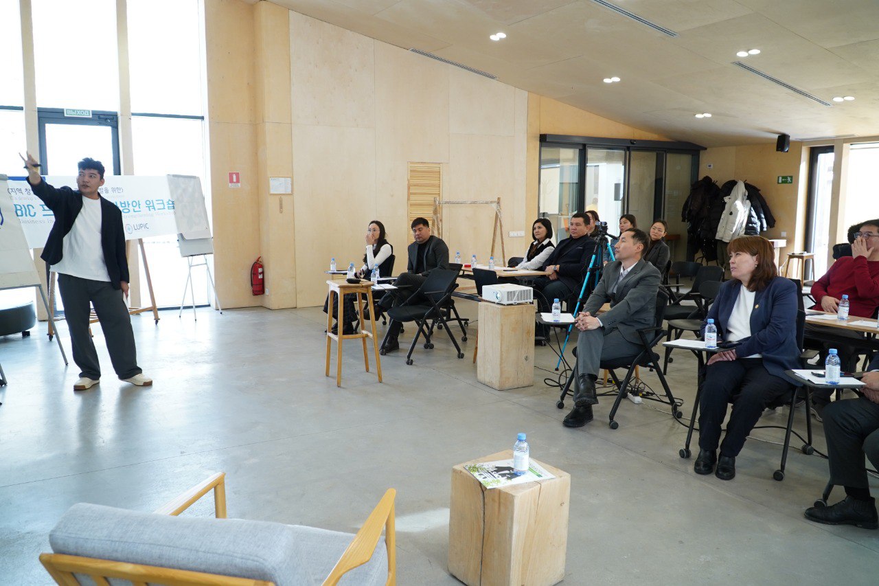
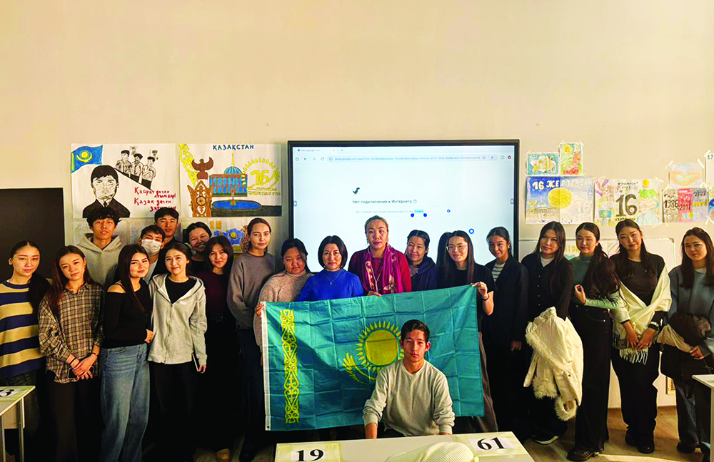
On April 23, third-year students of the "Hydrology" program participated in an extracurricular session, a lecture-visualization on Remote Sensing (RS) in hydrological studies within the framework of the courses "Calculation of Maximum Flow" and "Geoinformation Support for Hydrological Process Modeling."
To provide a deeper understanding of the topic, guest speakers were invited: Nursultan Meirambekuly, Director of the Space Technologies Center, and Zhasulan Smanov, Senior Specialist at the Earth Remote Sensing Center, who delivered presentations and practical sessions.
The event was held within the framework of UN SDG 6 – Clean Water and Sanitation, with a focus on the importance of geoinformation technologies in water resources management and ensuring environmental sustainability.
Organizer: Department of Meteorology and Hydrology.
Instagram: rs_gis_kaznu
Facebook: Центр ДЗЗ КазНУ


