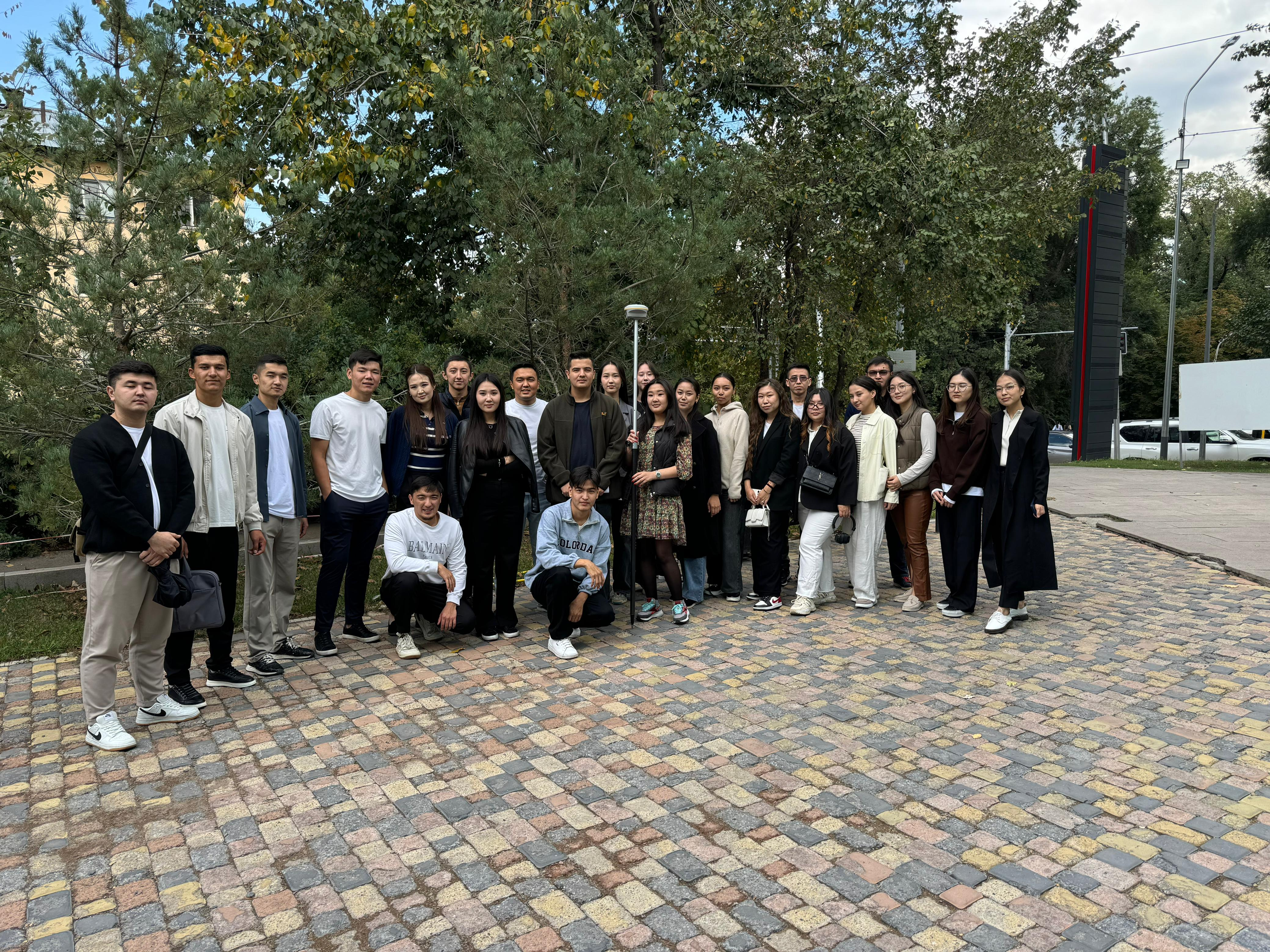
SDG 4. Quality education advisory hour "Education through modern educational processes"

The Leica NOVA MS60 is the world's first self-taught multi-station that allows you to perform all Geodetic tasks with just one tool.
The MS60 is a scanning tacheometer that provides complete data collection for capturing individual points and wide areas by automating the operation of the instrument. Easily integrated into Leica software for field and office Geodetic work, we can perform field work quickly and get a wide range of high quality results.
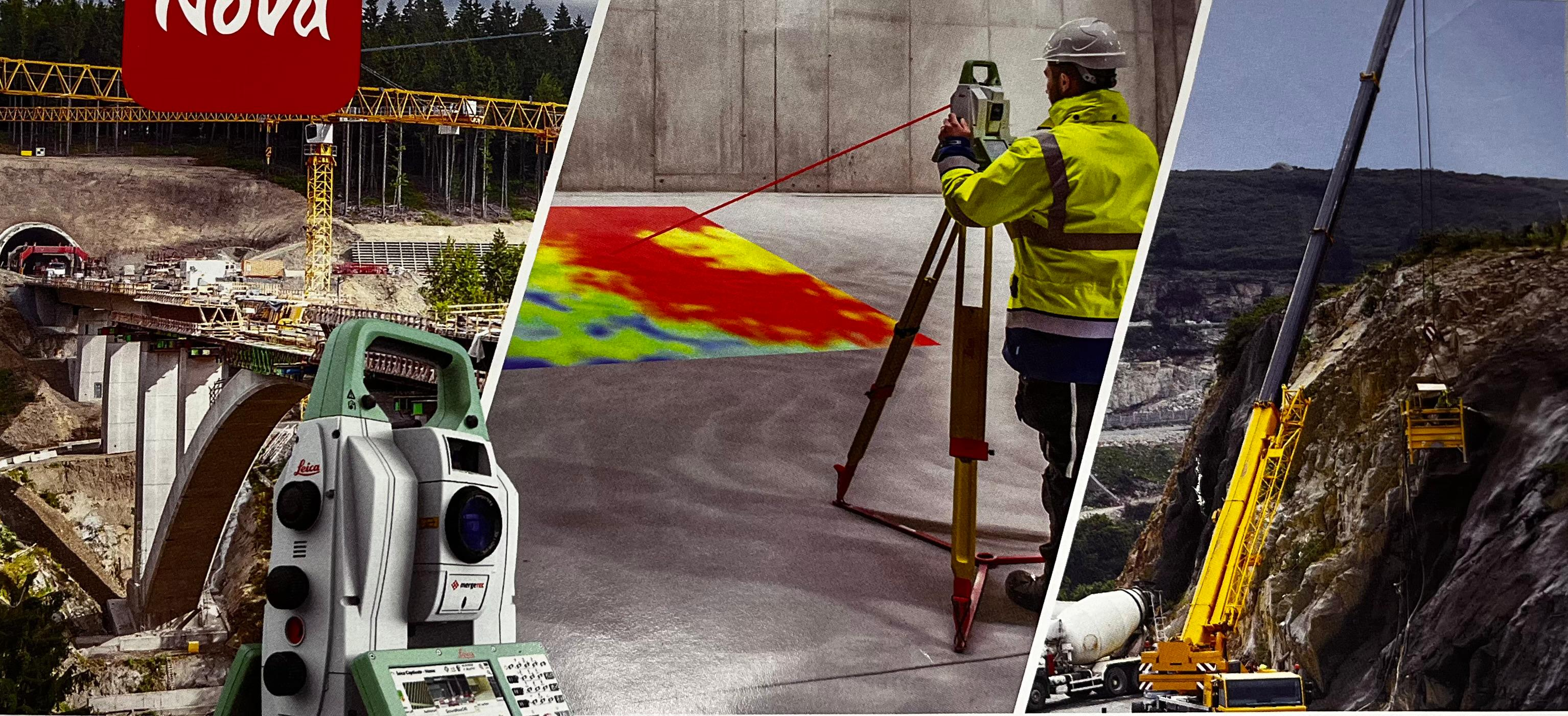
Leica NOVA MS60
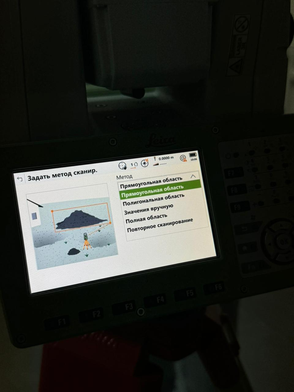
Scanning methods:
1.Rectangular area
Digital image processing technology, including a panoramic camera and a telescope camera with 30x magnification, allows you to take accurate pictures using images both on the total station itself and remotely, including advanced photo documentation.
2.Polygonal area
Scan at up to 30,000 dots per second (Hz) to get the job done quickly and get dense point clouds. The MS60 has optimized scanning paths, including anti-aircraft scanning, which significantly reduces the overall scan time.
Leica NOVA MS60
Сканерлеу әдістері:
1.Тік бұрышты бейнелеу(Прямоугольная область)
Панорамалық камера мен 30x үлкейту камерасын қамтитын цифрлық кескінді өңдеу технологиясы кеңейтілген фотоқұжаттауды қоса алғанда, тахеометрдің өзінде де, қашықтан да кескіндер арқылы дәл түсіруге мүмкіндік береді.
2.Көпбұрышты аймақ(Полигональная область)
Жұмысты жылдам орындау және тығыз нүктелер жиынтығы, бұлттарын алу үшін секундына 30 000 нүктеге (Гц) дейін сканерлей аламыз. MS60 оңтайландырылған сканерлеу жолдарына ие, соның ішінде зениттік сканерлеу, бұл жалпы сканерлеу уақытын айтарлықтай қысқартады.
Other news