- Main
- News
- Big Data for Sustainable Development of Suburban Areas: Monitoring Land Use and Quality of Life. A Session Dedicated to SDG 11
Big Data for Sustainable Development of Suburban Areas: Monitoring Land Use and Quality of Life. A Session Dedicated to SDG 11

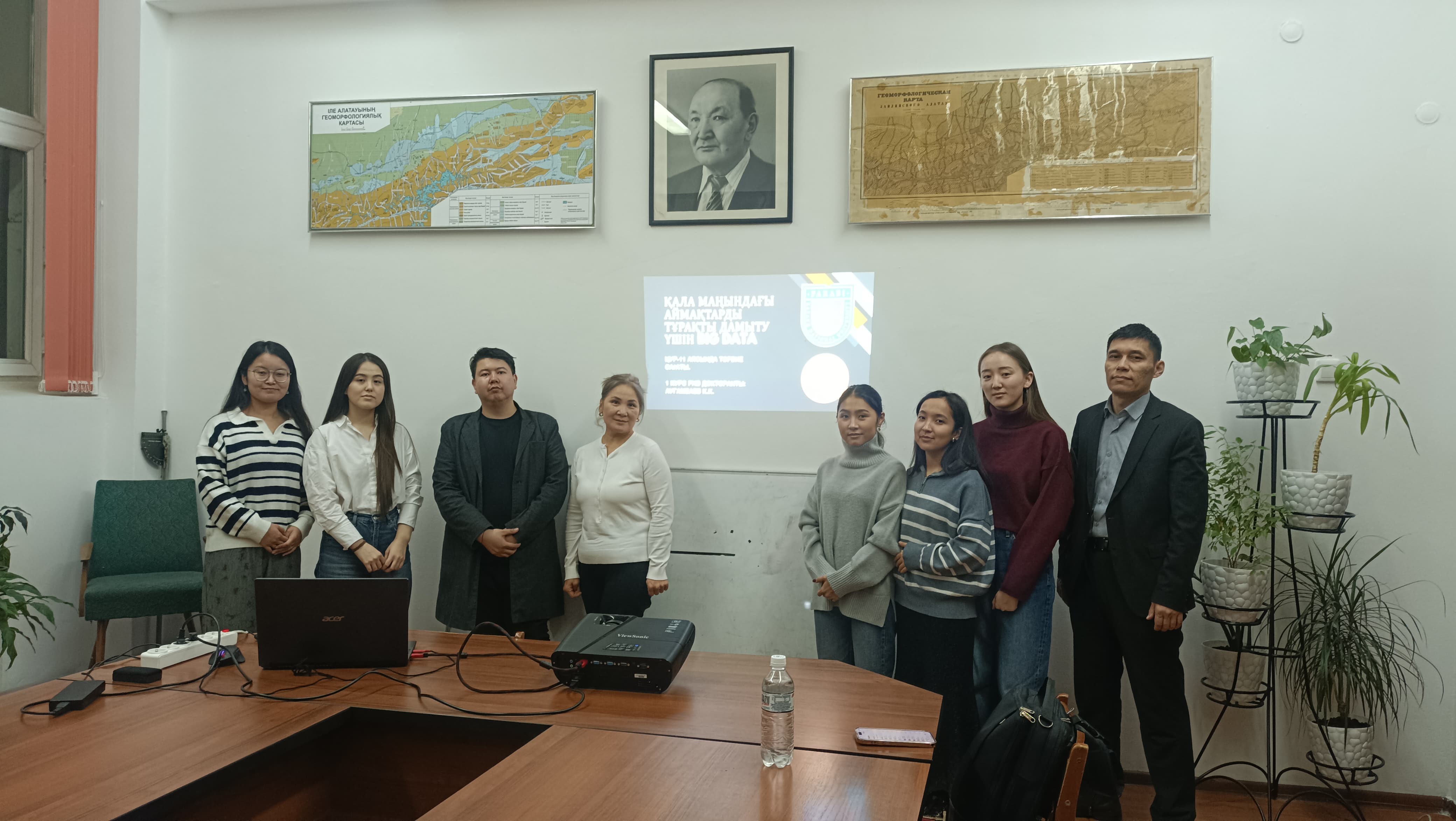
On December 3th of this year, an educational session dedicated to SDG 11 – Sustainable Cities and Communities – was conducted by Kairat Augambaev, a first-year doctoral student of the "8D07302 – Geoinformatics" program, spring intake, as part of his pedagogical practice. The session was held for second-year master’s students of the "7M07302 – Geoinformatics" program. The event featured a guest speaker from the field of urban planning and architecture, as well as the coordinator of the "Big Data in Geodesy" program, Ph.D. Kumar D. Additionally, senior lecturer of the Faculty of Philosophy and Political Science, Meiramkul Murzagulova, participated as an invited expert in pedagogical assessment.
In the modern world, suburban areas have become key focal points for urban development, where sustainable land use and improved quality of life are of paramount importance. The open session on "Big Data for Sustainable Development of Suburban Areas: Monitoring Land Use and Quality of Life" represented a significant step in preparing future professionals capable of leveraging advanced technologies to address complex urbanization challenges.
The objective of the session was not only to teach master’s students methods of big data analysis but also to deepen their understanding of the role of data in ensuring sustainable development. The dynamics of urbanization, the growth of transport infrastructure, and the protection of green spaces all require new approaches that Big Data can provide. By utilizing spatial data and analytical methods, students explored how to assess the efficiency of public transportation, the accessibility of social facilities, and changes in land use.
The session began with a discussion of the Sustainable Development Goals (SDGs), particularly SDG 11, aimed at creating sustainable cities and communities. This helped students realize the significance of their future work in the context of global challenges. Case studies illustrated real-world examples of using Big Data for urbanization monitoring, ranging from satellite imagery analysis to evaluating population density and transportation accessibility.
The main part of the session focused on demonstrating big data analysis tools. Students observed how Python (pandas, geopandas, matplotlib), QGIS/ArcGIS, and Google Earth Engine can be used for land use classification and infrastructure accessibility assessment. This practical demonstration not only enhanced their knowledge but also highlighted the importance of technological skills in solving real-world problems.
The practical assignment was the culmination of the session. Students had the opportunity to independently analyze a suburban area using Landsat and OpenStreetMap data. The results – maps of green space changes and transportation accessibility – clearly demonstrated how Big Data helps visualize the dynamics of territorial development.
The discussion of results was rich and productive. The students shared ideas on improving the transportation network, protecting green spaces, and optimizing infrastructure. These recommendations showcased their ability not only to analyze data but also to apply insights for real management solutions.
Concluding the session, the students acknowledged that Big Data is not merely a technological tool but a key to understanding complex urbanization processes and improving quality of life. Their work demonstrated that the sustainable development of suburban areas is impossible without big data analysis, which reveals hidden connections and offers effective solutions.
Thus, this session became a crucial step in preparing specialists ready to apply their knowledge to improve suburban life and ensure sustainable development.
