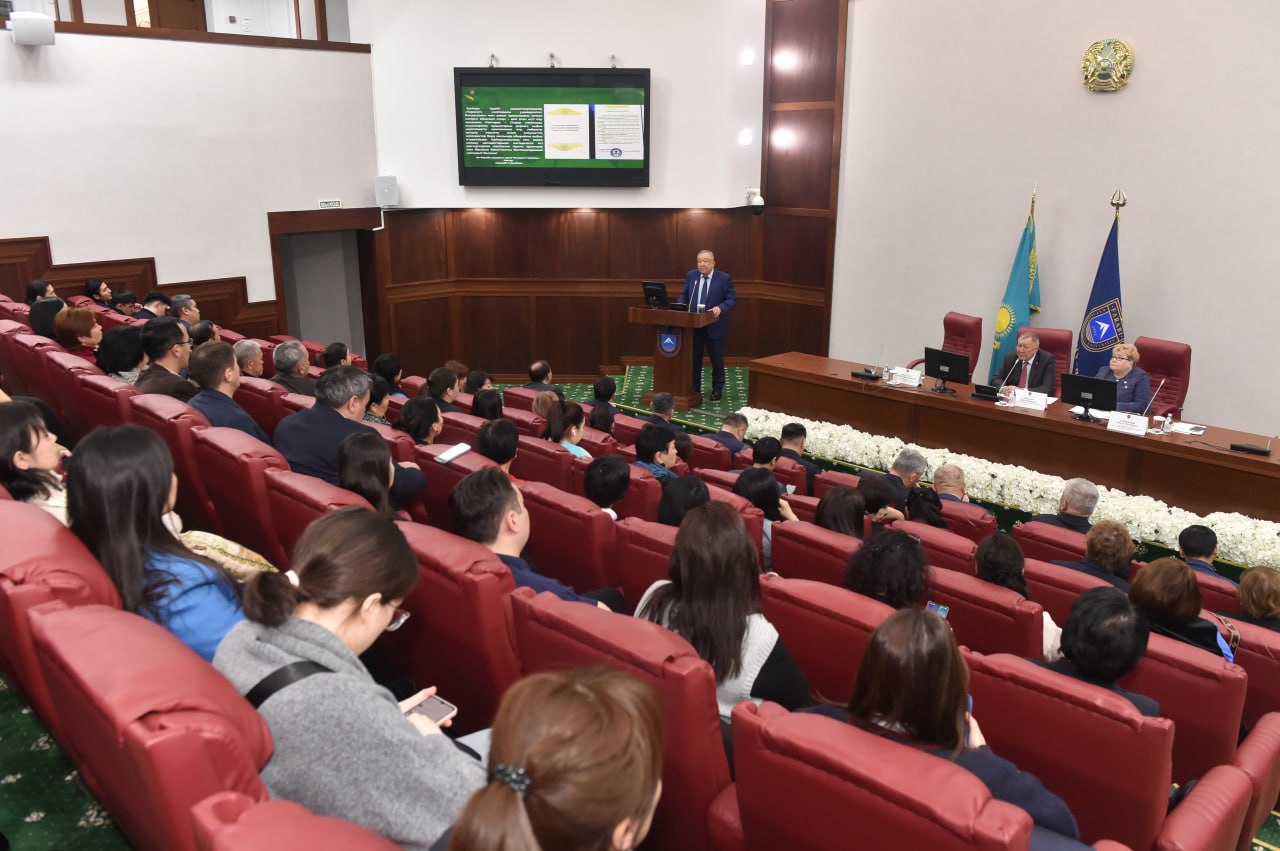
Soil is one of the strategic resources of every country. Its fertility reflects the economic and social conditions of that country. However, in recent years, soil contamination has been observed in all regions. This is particularly noticeable in Western Kazakhstan, as oil has been extracted in this area for over a century.
The region has currently become one of Kazakhstan's ecologically unstable areas. Here, anthropogenically disturbed and desertified soils are widespread. The level of soil contamination with hazardous chemical elements is a key indicator of the ecological and food security of any region. In this context, monitoring the concentration of dangerous chemical elements in the soil can be considered the basis for many soil-ecological studies.
Within the framework of the mega-grant "Sustainable Development of Natural, Economic, and Social Systems in Western Kazakhstan in the Context of Green Development: Integrated Analysis, Concept, Forecast Evaluation, and Scenarios", the scientific team carried out an expedition to four regions of Western Kazakhstan (Aktobe, Aktau, Mangystau, and Oral). The expedition lasted for one month. The route was designed taking into account the ecological situation of the region. In Aktobe region, the economy of the city of Khamirtau is primarily based on chromite ore mining, a sector of the mining industry. Chromite ores are extracted in the city and its vicinity using both open-pit and underground mining methods. Therefore, soil profiles were dug in areas with concentrated anthropogenic landscapes, and morphological descriptions of the soil’s genetic layers were made. Carbonate content was tested with a 10% HCl solution. Mechanical granulometric composition was determined through field methods. To detect toxins and chemicals, soil samples were taken at different distances using the envelope method, based on wind rose patterns. In the city of Aktobe, soil profiles were dug on the production site of the ferroalloy plant, and samples were collected using the envelope method. Soil samples were also taken using the same method in the village of Kenkiyak.
In Mangystau region, the ecological condition of the soil was discussed with the head of the Beineu district. Soil profiles were dug in the villages of Turish and Syngyrlau to study the physical-chemical properties of the desert soils and saline areas. Samples were taken to determine soil density. At the Zhetibay oil field, soil samples were taken from the production area of the sulfuric acid plant in Akatau city, based on the wind rose, to analyze pollutant distribution distances. In Aktau, a conference was organized with the participation of Z. Esbergenova, the deputy mayor, and the heads of the Department of Natural Resources and the Ecological Department, where the current ecological situation of the region's soil cover was discussed.
In Atyrau region, soil sampling points were selected based on industrial facilities. Paired soil profiles were dug to collect samples for analysis of physical-chemical, morphological, mechanical-granulometric properties, and heavy metal content. The scientific team also visited the ecological department of the Atyrau oil refinery and familiarized themselves with the plant's operations. Samples were taken from the sanitary protection zone to identify pollutants.
In the Western Kazakhstan region, soil samples were collected using the envelope method from the sanitary protection zone of the Karachaganak oil and gas condensate field, as well as from virgin lands. Samples were taken from each genetic layer, and soil samples were collected from the village of Karachaganak. Soil samples were also obtained from the Oral Thermal Power Plant area and the central park to identify pollutants. Chloride content in the soil was determined using a rancid laboratory. The collected soil samples were sent to certified laboratories for analysis to determine the concentration of pollutants and the physical-chemical, mechanical-granulometric properties.
The scientific team included cartographers and geodesists S. Jumataev and K. Kyrgyzbay, who worked with tools such as the DRTK station base with the Multispectral Mavic 3 drone, and the GNSS receiver Spectra Precision 85. They focused on creating digital maps and models of ecosystems using GIS technology to visualize and analyze ecosystem conditions. Throughout the expedition, the team gathered substantial data and samples, which were sent to certified laboratories for analysis. The scientific work is ongoing.
Tursynkul BAZARBAEVA,
Program Leader
Gulzhanat MUKHANOVA,
Researcher
UNESCO Chair on Sustainable Development