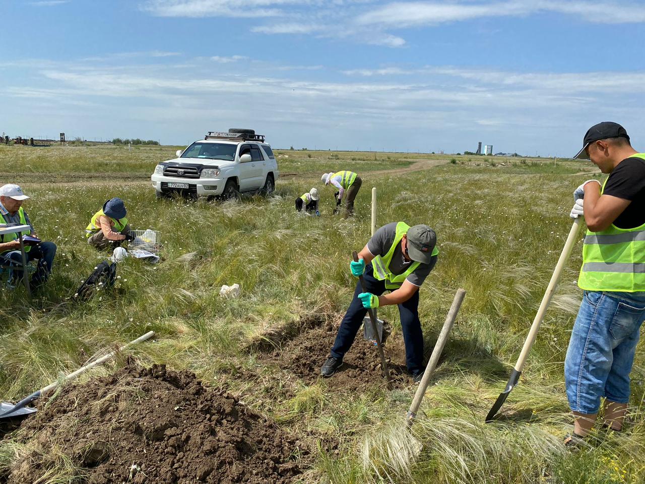
Field research of the soils of the city of Khromtau
Within the framework of the Mega Grant BR21882122 "Sustainable development of natural, economic and socio-economic systems of the West Kazakhstan region in the context of green growth: a comprehensive analysis, concept, forecast estimates and scenarios", under subprogram 4: Assess soil pollution of the West Kazakhstan region with toxic chemicals as a result of industrial activities, a field expedition to eliminate pollution began soils of selected sites in the territories of Aktobe, West Kazakhstan, Atyrau and Mangystau regions.
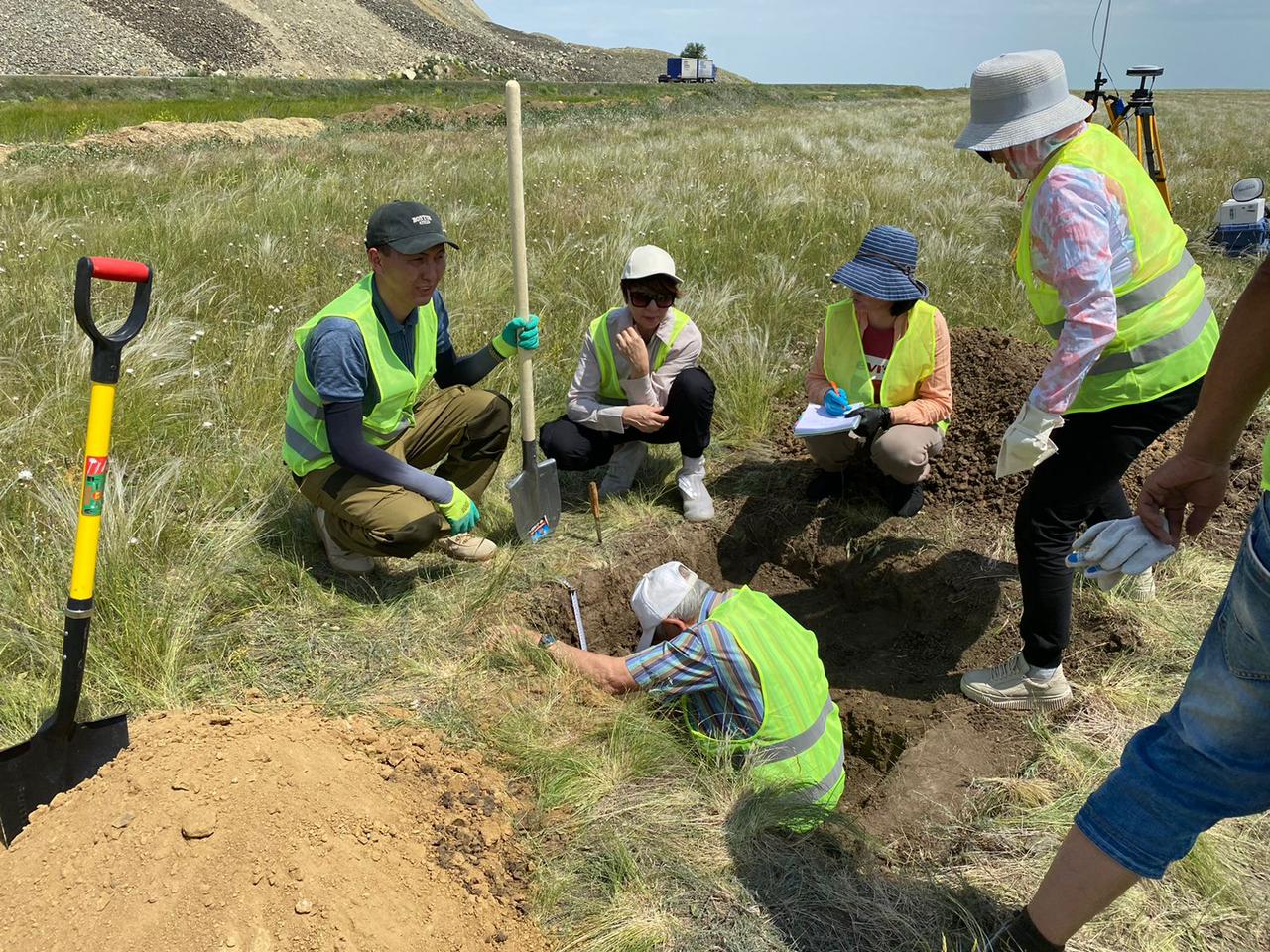
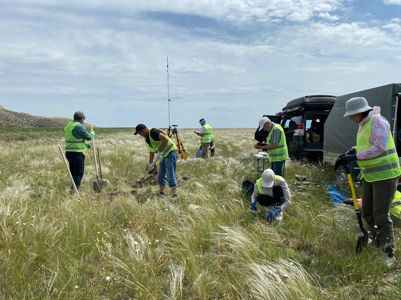
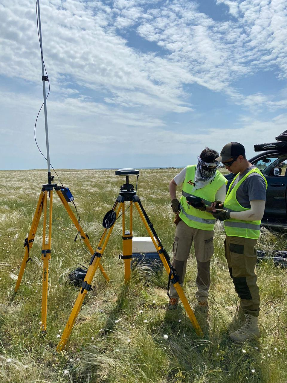
The first point was a site near the city of Khromtau. During the field survey of the territory, soil studies, aerial photography and topographic and geodetic works were carried out.
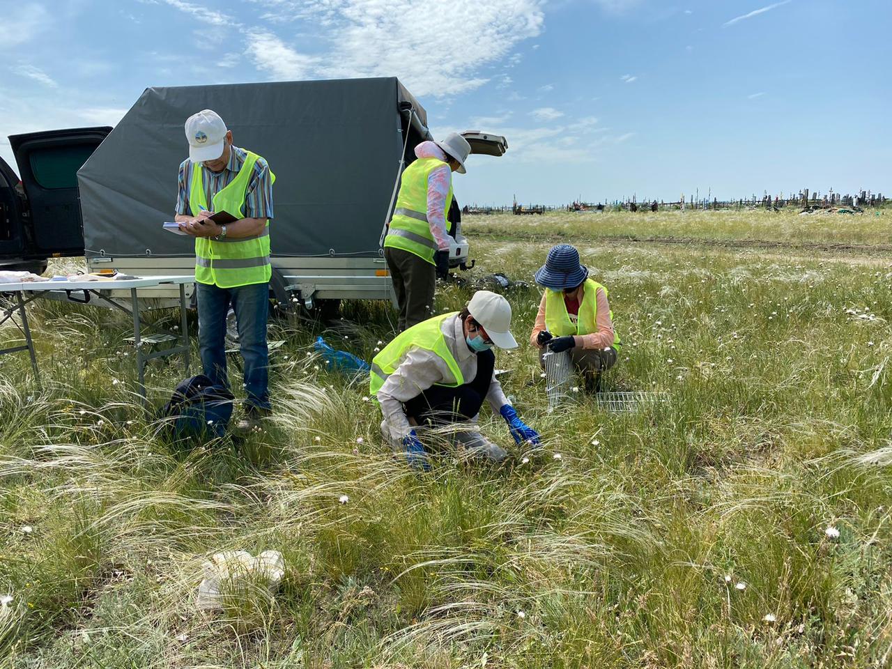
Topographic and geodetic works included the determination of the coordinates of the soil profile and 100, 250, 500 and 1000 m from the distance from the sanitary protection zone. Aerial photography was carried out using a multispectral UAV DJI Mavic 3 multispectral to further obtain an orthophotograph of the studied area.
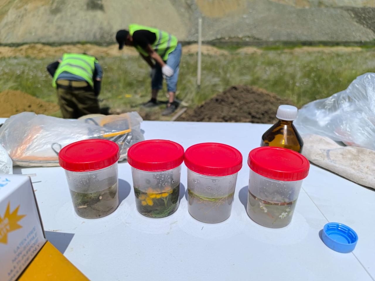
To determine the physico-chemical properties and morphological features of the zonal dark chestnut soil, an incision was laid on the southern side of a large quarry located near the city of Khromtau. The terrain is flat, the vegetation cover is typical of the grasslands. The genetic horizons of the soil profile were described and samples from each horizon were selected. The densities of the addition of genetic horizons were determined using the N.A. Kaczynski method using the AM-7 drill. To determine heavy metals on the sides of the horizon, soil samples were taken by the envelope method at a distance of 100, 250, 500, 1000 meters. According to the prevailing wind direction (according to the wind rose), a sample was taken at a distance of 5000 m from the P-1.