- Main
- News
- GIS Application in Practice: Students of the Department of Recreational Geography and Tourism Explore Technologies through Real-World Examples
GIS Application in Practice: Students of the Department of Recreational Geography and Tourism Explore Technologies through Real-World Examples
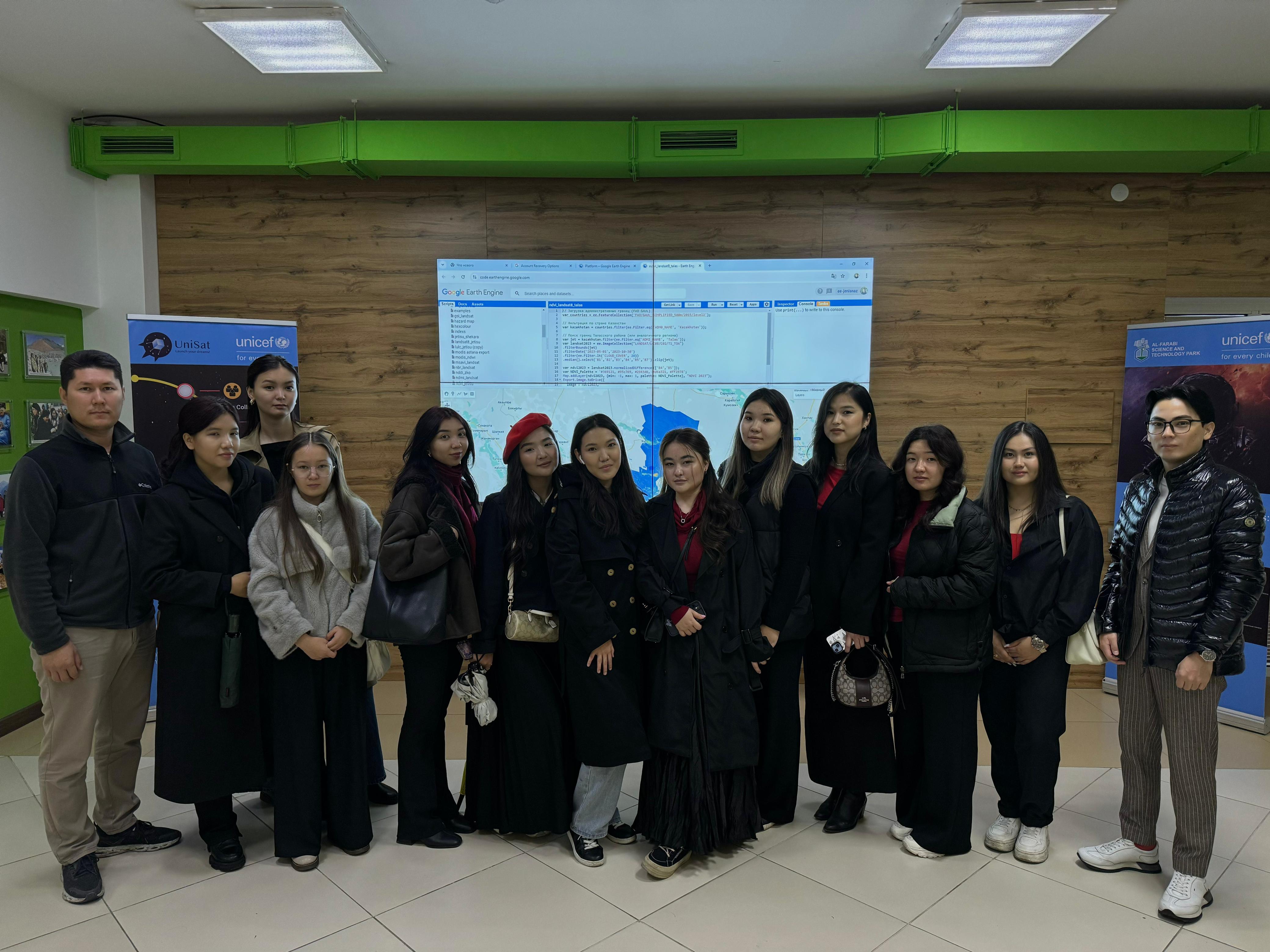
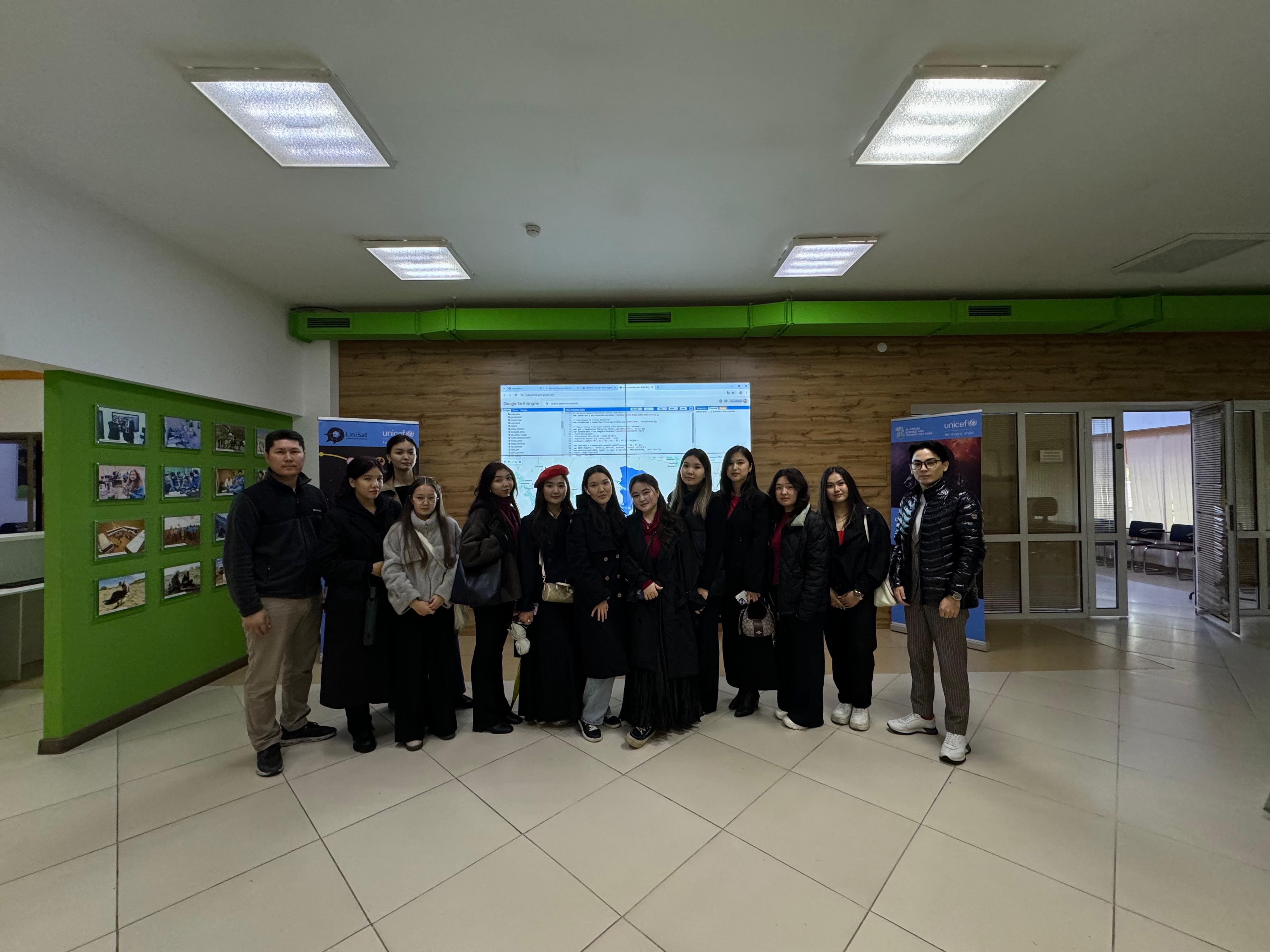
On September 27, 2024, 4th-year students of the "6B11101 – Tourism" educational program participated in an extracurricular session for the ITBG 4311 "Information Technologies in the Hospitality Industry" discipline. The session, titled "Geographic Information Systems in Tourism," was held in accordance with the syllabus, with support from O.Z. Taukebayev, Deputy General Director of the Cluster of Engineering and High-Tech Technologies. The session was organized by Senior Lecturer of the Department of Recreational Geography and Tourism, Yeldar Nuruly.
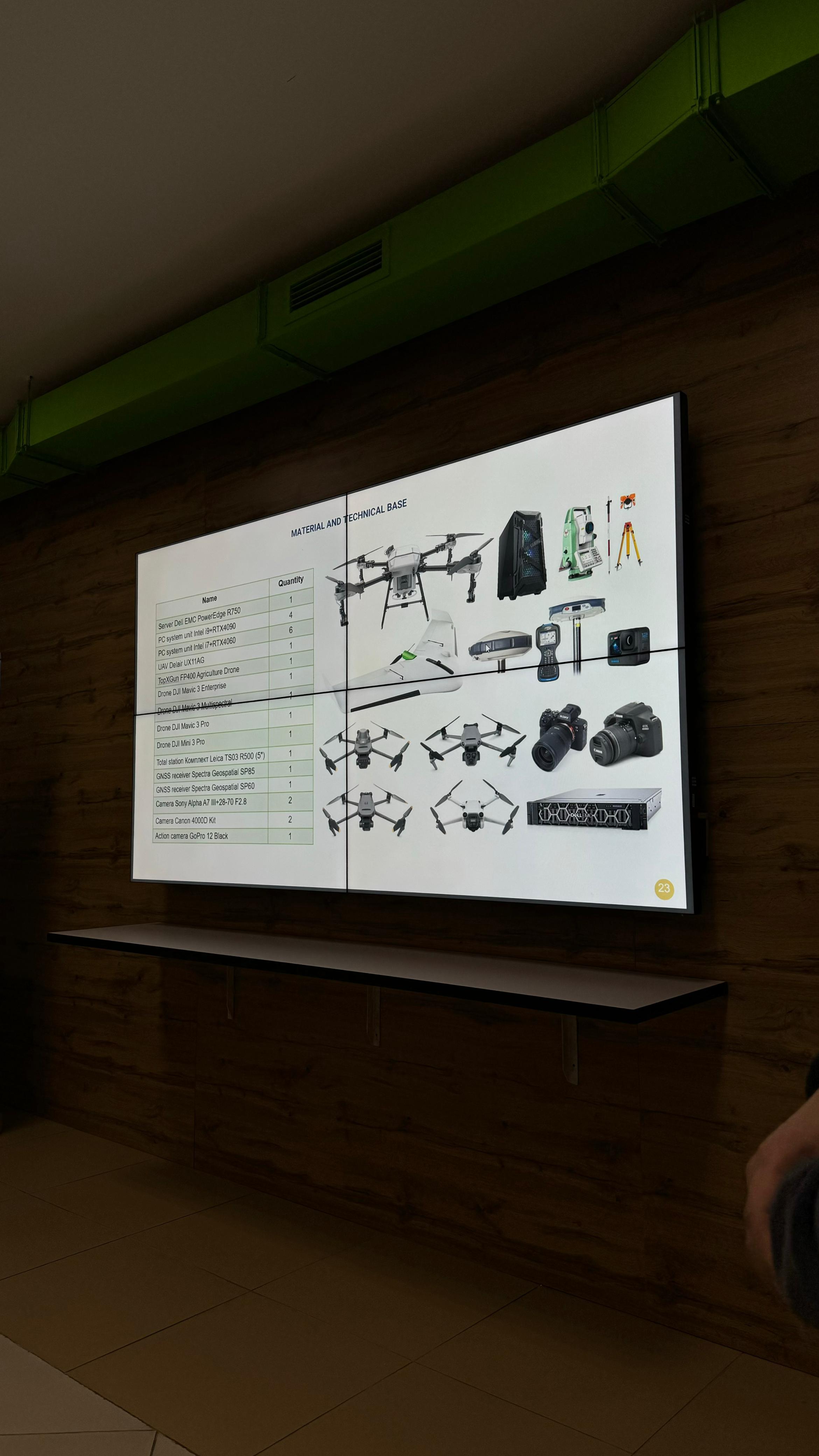
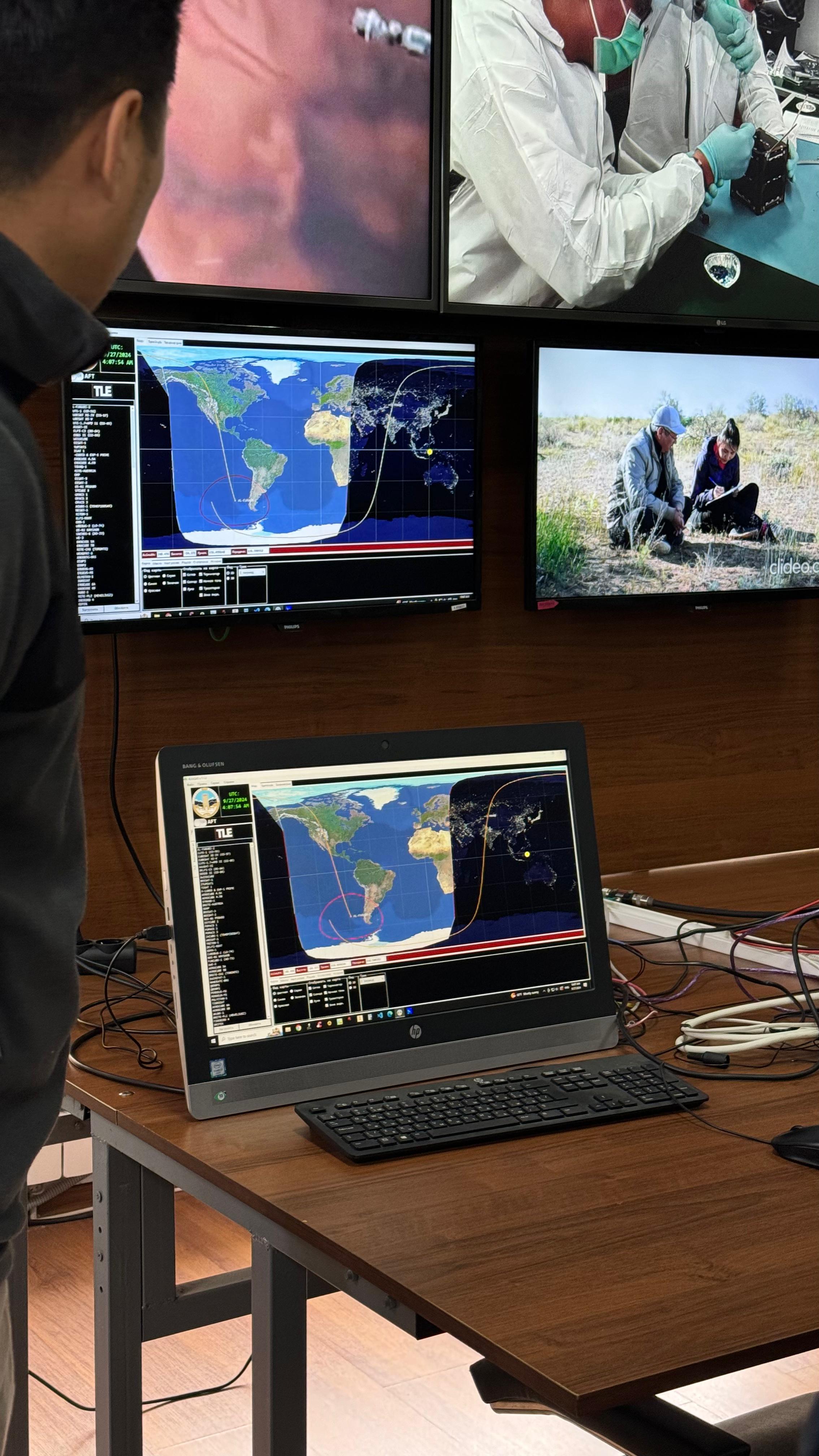
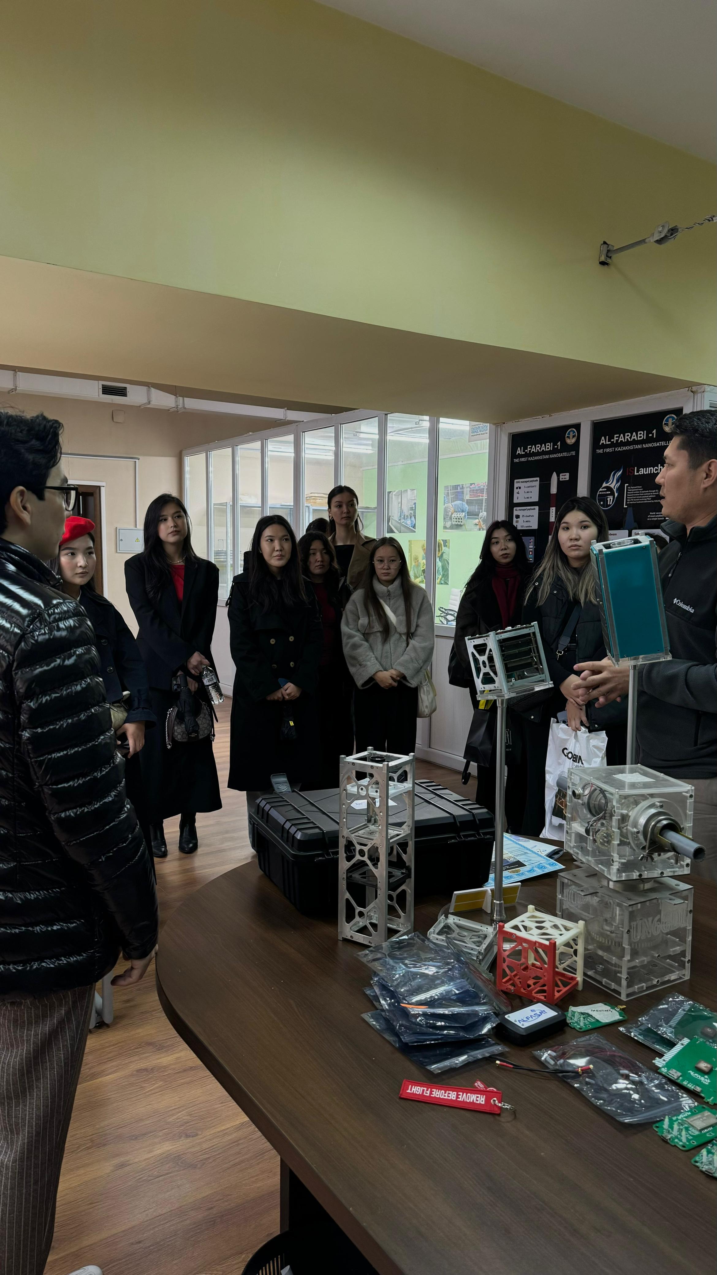
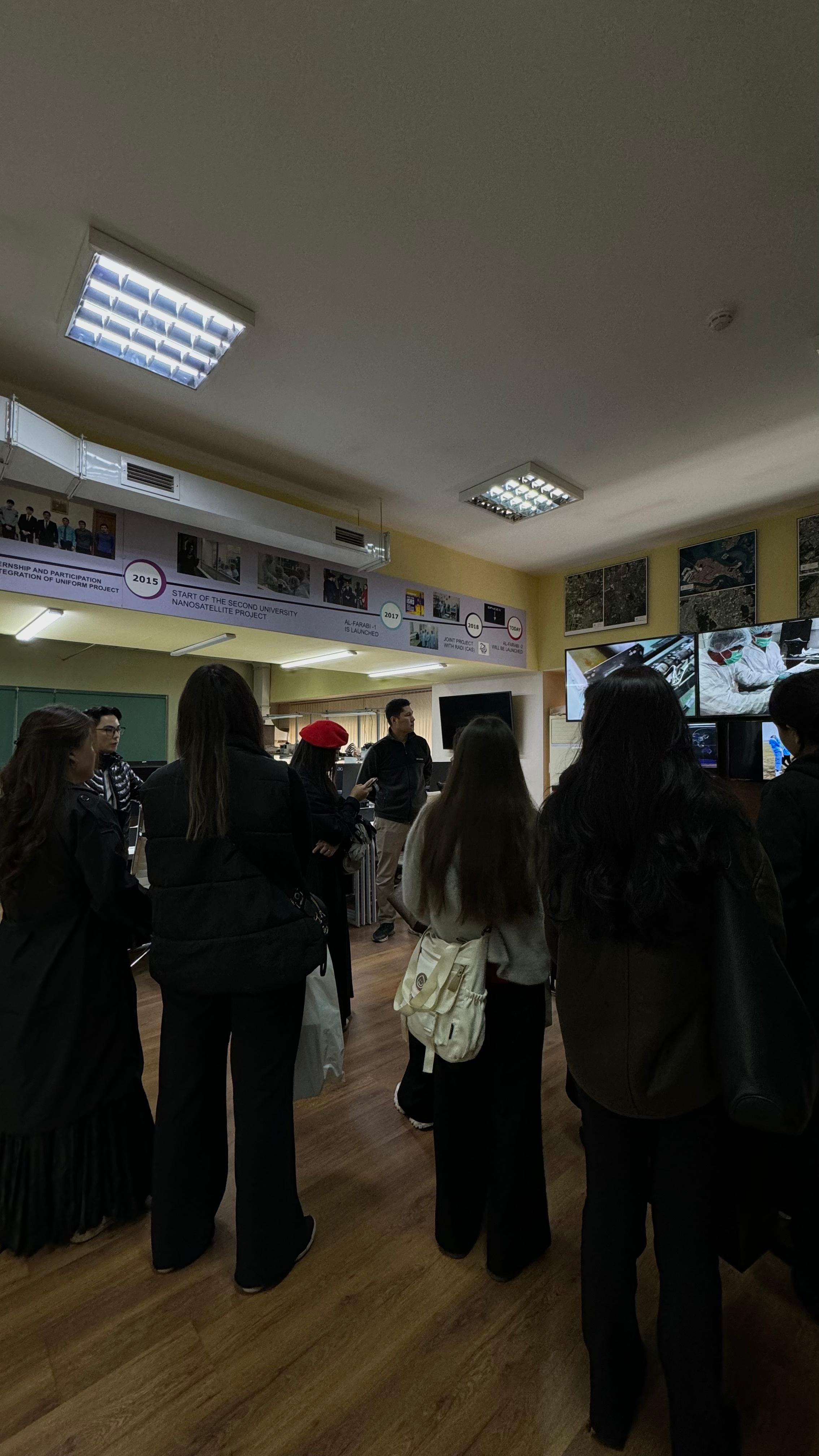
The session took place at the Scientific-Educational Center for Remote Sensing of the Earth (RSEC), which is part of the Cluster of Engineering and High-Tech Technologies. During the session, students not only familiarized themselves with the activities of the RSEC but also had a unique opportunity to visit the Laboratory for Small Spacecraft Development and the Design Bureau, located in the same building as the center.
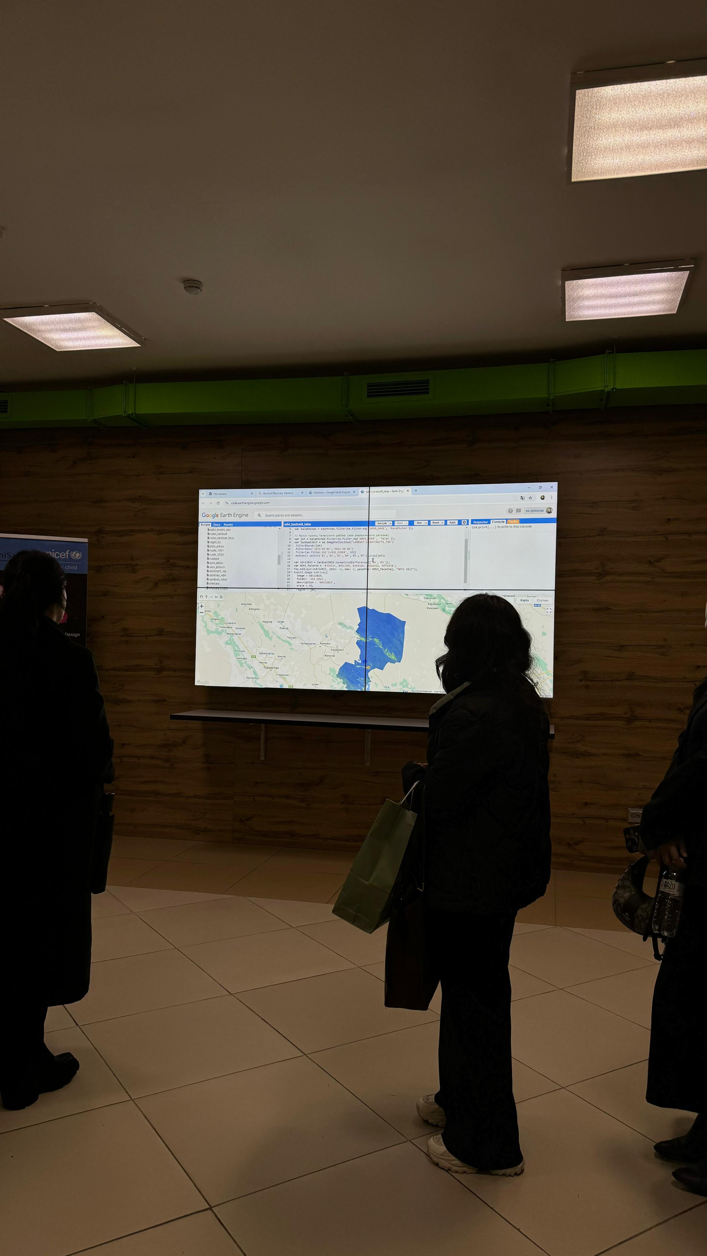
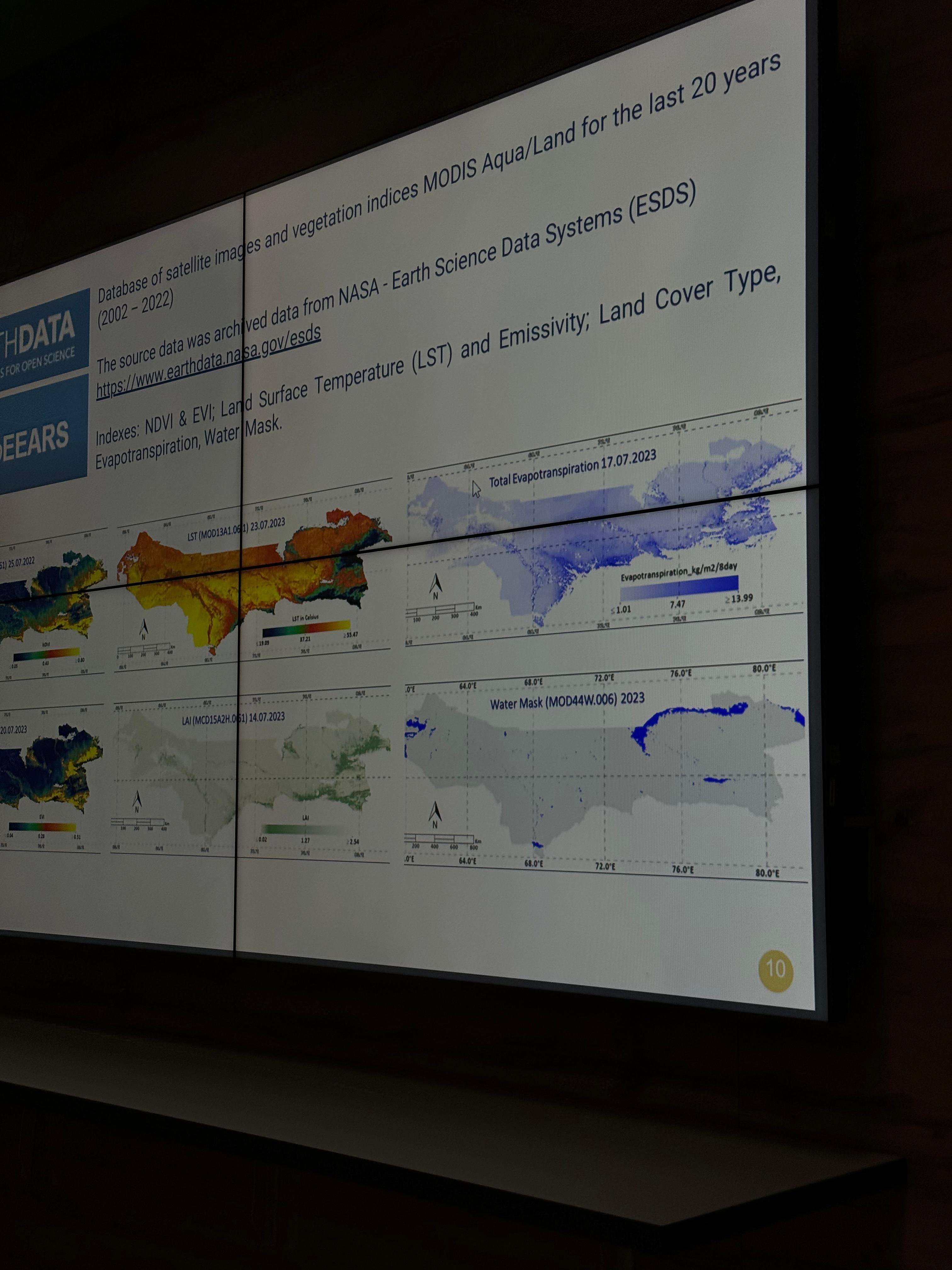
RSEC staff demonstrated a master class on creating interactive maps using programming and showcased completed projects and studies, including those in tourism, developed in collaboration with the Department of Recreational Geography and Tourism. This gave students a chance to see real-world examples of how geographic information systems can be applied to solve industry-related tasks, from environmental monitoring to tourism resource analysis.
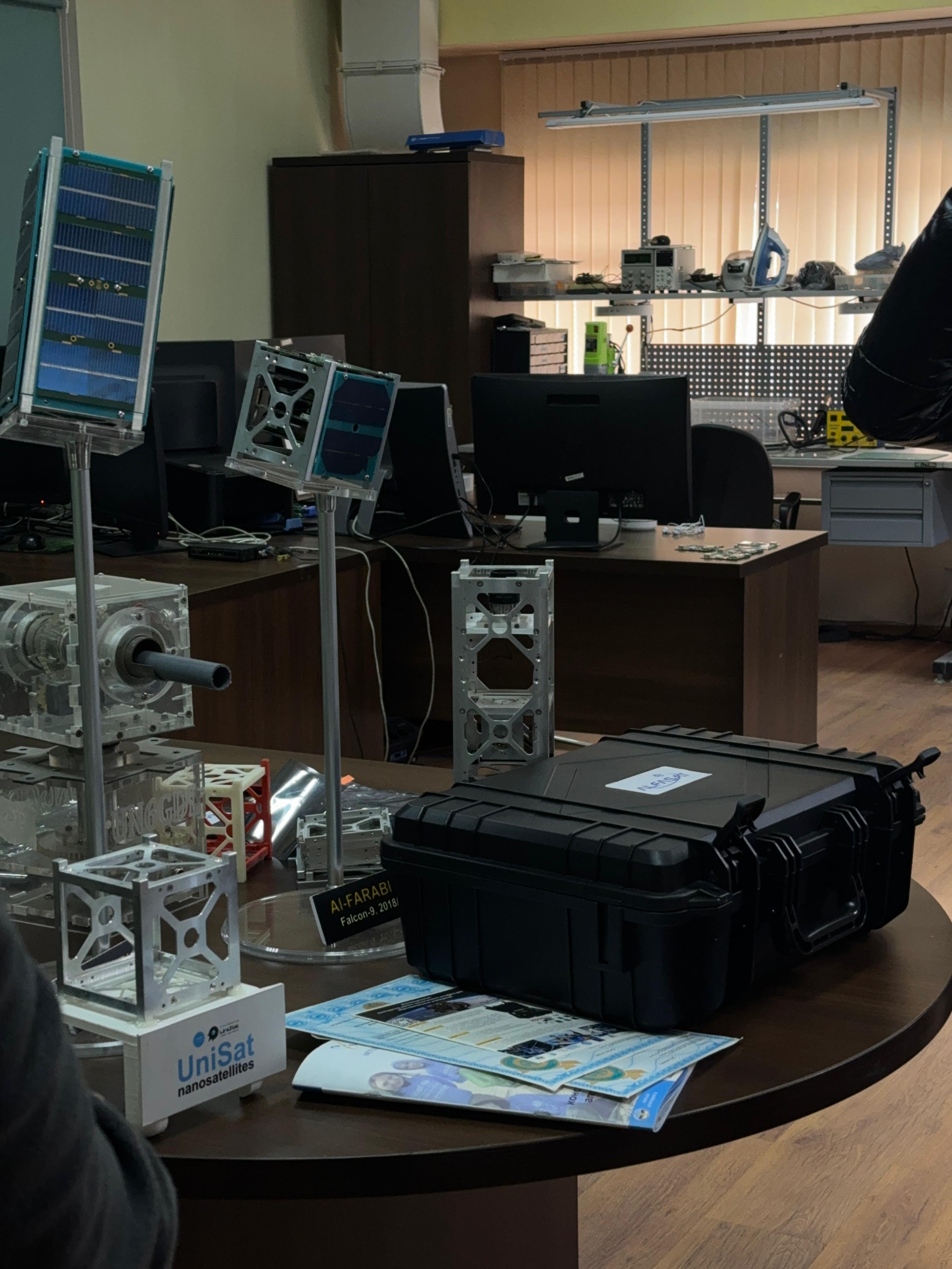
The Laboratory for Small Spacecraft Development showcased the achievements in developing the Al-Farabi-1 and Al-Farabi-2 nanosatellites, providing a vivid example of the synergy between scientific research and advanced technologies.
This visit helped students broaden their knowledge of modern information technologies and their application in tourism. Practical familiarity with geographic information systems in real conditions allowed them to reinforce their theoretical skills and gain insights into the prospects for their use in the industry.
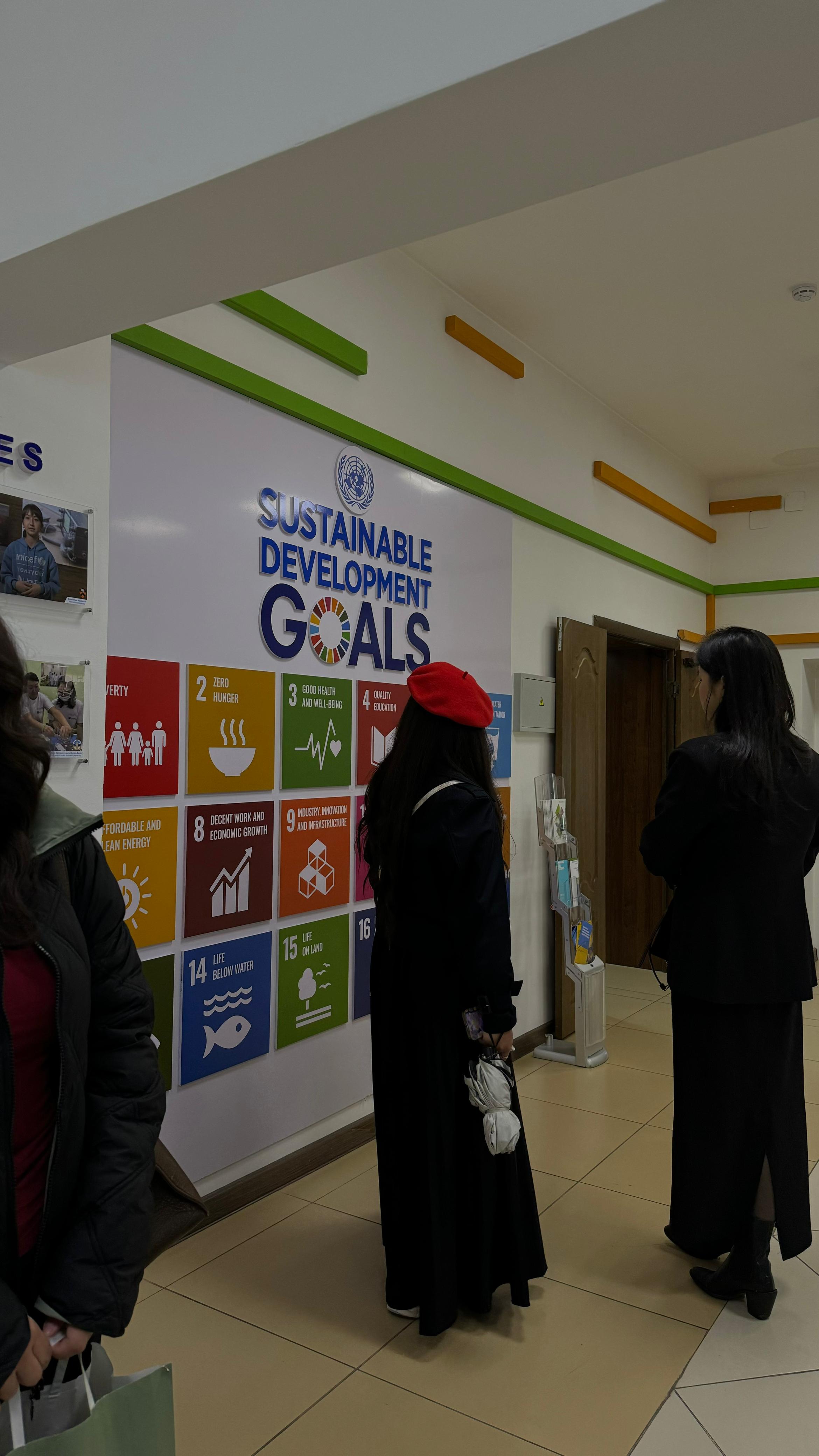
The use of GIS and remote sensing technologies contributes to the achievement of the United Nations Sustainable Development Goals (SDGs), specifically SDG 13 "Climate Action" and SDG 15 "Life on Land." The technologies presented to the students are aimed at monitoring the environment, analyzing natural resources, and preventing land degradation processes. These systems help assess the impacts of climate change and take measures for sustainable natural resource management, thereby contributing to the sustainable development of tourism areas and the preservation of ecosystems.
Such sessions enable students to develop deeper, applied knowledge that promotes their professional growth and demand in the labor market.
Other news
