Improving geoanalytics with the help of AI

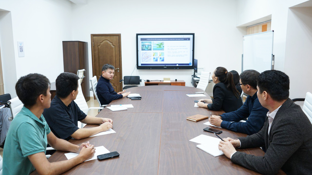
Within the framework of AI-Week – Artificial Intelligence Week, Al-Farabi Kazakh National University hosted a round table on the topic "Prospects for the use of artificial intelligence in geographic information systems and remote sensing of the Earth"
The event, organized by the Farabi GIS Geospatial Science Center with the support of the Ministry of Science and Higher Education of the Republic of Kazakhstan, brought together the center's specialists, young researchers, undergraduates and doctoral students.
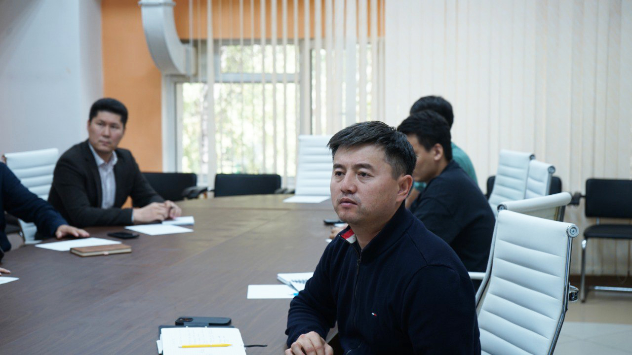
During the round table, Kanat Zulpykharov, Director of the center, noted the importance of artificial intelligence technologies for automating GIS and remote sensing data processing, improving the quality of analysis and saving time.
The participants discussed the impact of these technologies on scientific research and practical projects. Nazym Zhenisova, a specialist at the center, spoke about the use of AI algorithms on the Google Earth Engine platform, demonstrating the ability to quickly process big data and analyze hundreds of satellite images using embedded machine learning methods.
The leading specialist of the center, Zhasulan Smanov, focused on the methods of digital soil cartography based on AI. He presented methods for predicting pH, humus content, mechanical composition, and soil salinity, and proposed an assessment of erosion hazards by integrating RUSLE and WEPP models with artificial intelligence.
The applied capabilities of artificial intelligence in specific cases were also demonstrated. Thus, Moldir Rakhimova, the chief specialist of the center, presented her experience in forecasting river flow, flood monitoring and water quality assessment using various satellite data and modern algorithms.
In addition, the effectiveness of AI tools in such areas as detecting forest and steppe fires, forecasting mudflows and floods, monitoring urbanization processes, assessing agricultural productivity and maintaining a land registry was noted.

The round table highlighted the advantages of using AI in the fields of GIS and remote sensing to accelerate spatial data processing and improve the quality of analysis. At the same time, experts emphasized that in a number of difficult situations, the human factor still plays a key role in interpreting results and making decisions.
Press-service of Al-Farabi Kazakh National University
Other news