- Main
- News
- Young Researchers of the Faculty of Geography and Environmental Sciences Receive Training in UAV-Based Mountain Cryosphere Monitoring
Young Researchers of the Faculty of Geography and Environmental Sciences Receive Training in UAV-Based Mountain Cryosphere Monitoring
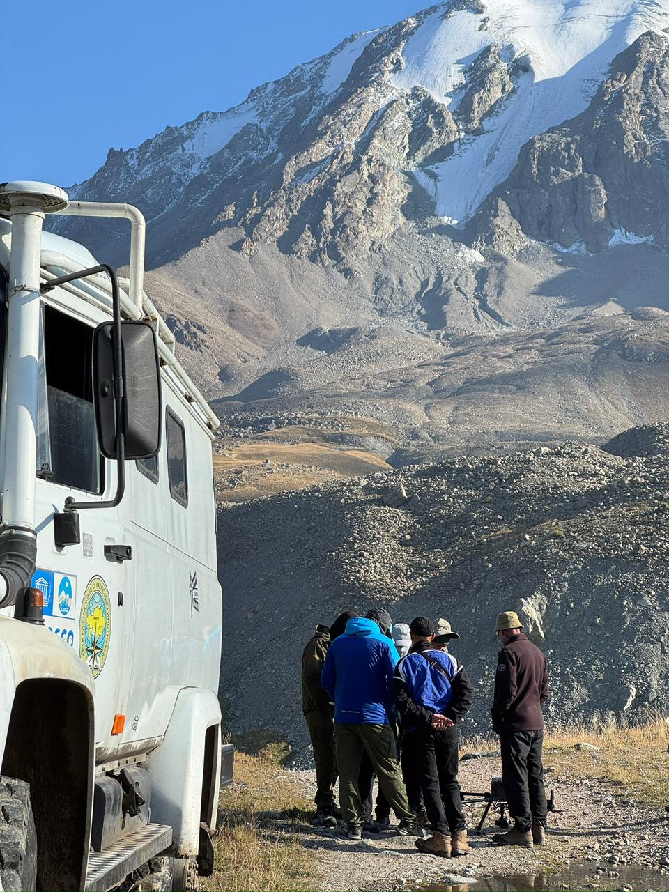
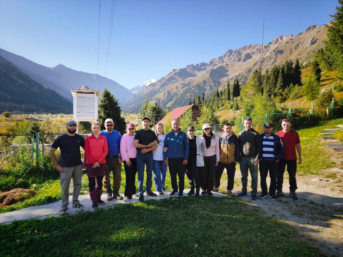
From 24 to 28 August 2026, young researchers from the Faculty of Geography and Environmental Sciences participated in the practical training course “Monitoring the Mountain Cryosphere Using UAVs: From Field Research and Data Processing to Open Geospatial Data,” organized by the Central Asian Regional Glaciological Centre.
As part of the project, Anuar Zhanbota, a first-year Master’s student in the Hydrology programme, and Mukhabbat Sirazhitdinova, a staff member of the Kazakhstan-China Laboratory for Remote Sensing Technology and Applications, were selected to participate in the training to strengthen their professional competencies in remote sensing and mountain cryosphere monitoring.
Monitoring glaciers, rock glaciers, and glacial-moraine complexes is essential for understanding ongoing changes in high-mountain environments. Observations of these features make it possible to assess the dynamics of glaciers and perennial ice, changes in topography, and associated geomorphological processes. In the context of climate change, the regular collection of up-to-date spatial data is particularly important for research on water resources and natural hazards in mountain regions.
Unmanned aerial vehicles (UAVs) have become one of the most promising tools for such research. Drones enable researchers to obtain high-resolution data from difficult-to-access mountain areas, generate orthophotos and digital elevation models, and monitor spatial changes in cryospheric features.
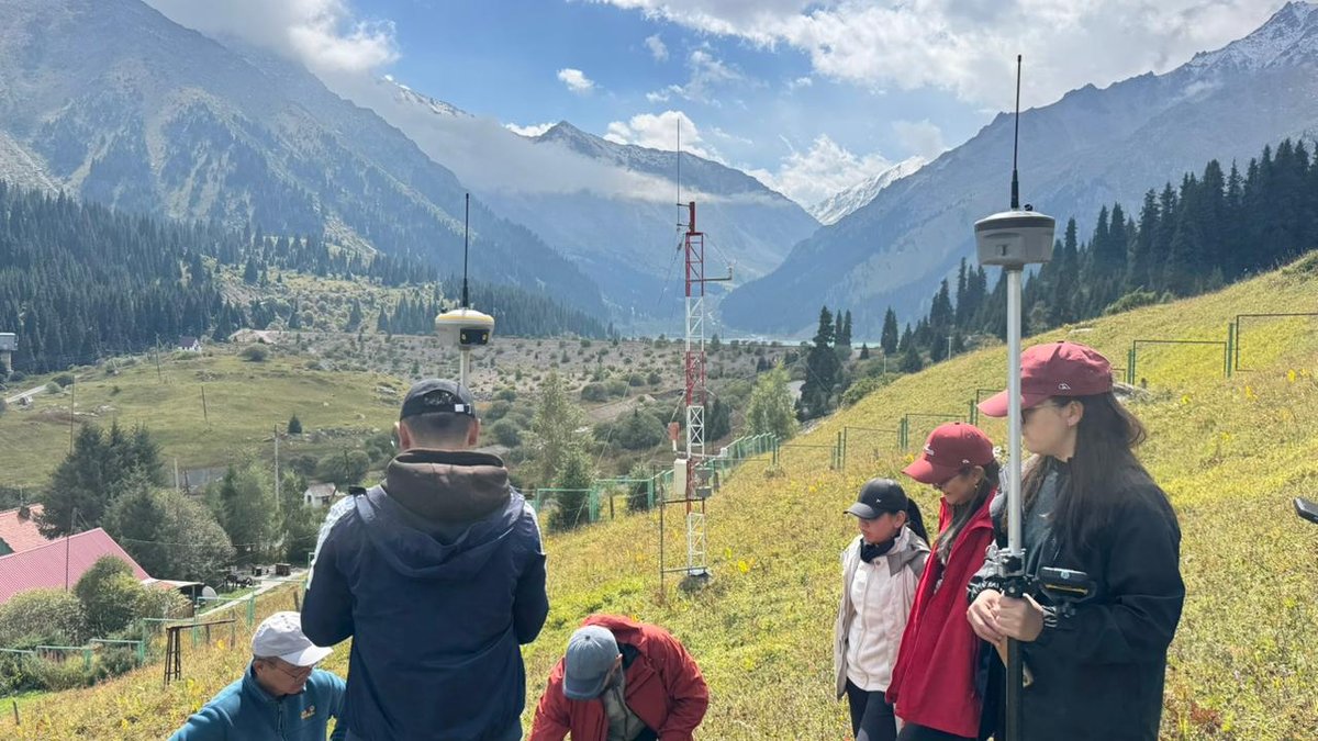
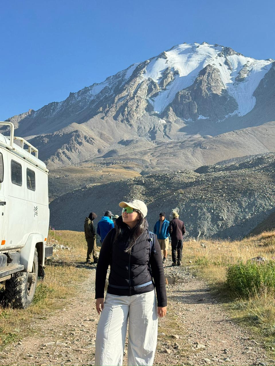
The practical component of the training included field trips to the Morenny and Gorodetsky rock glaciers and the Timofeev glacial-moraine complex. Participants gained hands-on experience in planning and conducting UAV surveys in complex mountainous terrain, operating the equipment, and collecting high-precision spatial data.
A separate training module focused on the photogrammetric processing of UAV imagery using Agisoft Metashape. Participants learned the main stages of aerial image processing, the generation of orthophotos and digital elevation models, and the preparation of geospatial datasets for further scientific analysis.
The knowledge and practical skills acquired during the training will be applied in research projects implemented by the Kazakhstan-China Laboratory for Remote Sensing Technology and Applications. Mastering modern UAV-based monitoring methods contributes to strengthening the competencies of young researchers in glaciology, remote sensing, photogrammetry, and geospatial technologies.
Such educational and research activities also contribute to the implementation of the United Nations Sustainable Development Goals (SDGs). Research on glaciers and the mountain cryosphere is directly linked to SDG 13: Climate Action, as it provides valuable data on how high-mountain systems respond to climate change. Monitoring glaciers, which play an important role in river runoff formation, also contributes to SDG 6: Clean Water and Sanitation, particularly by supporting the sustainable management of water resources. Training young specialists and introducing advanced remote monitoring technologies are also aligned with SDG 4: Quality Education and SDG 9: Industry, Innovation and Infrastructure.
The participation of young researchers in the training supports the integration of modern technologies into the Faculty’s research activities and strengthens scientific capacity in the fields of mountain cryosphere studies and climate change research.
Other news