- Main
- News
- GIS Expert from the Faculty of Geography and Environmental Sciences Serves as a Mentor at the Regional Youth Water Solutions Incubator
GIS Expert from the Faculty of Geography and Environmental Sciences Serves as a Mentor at the Regional Youth Water Solutions Incubator
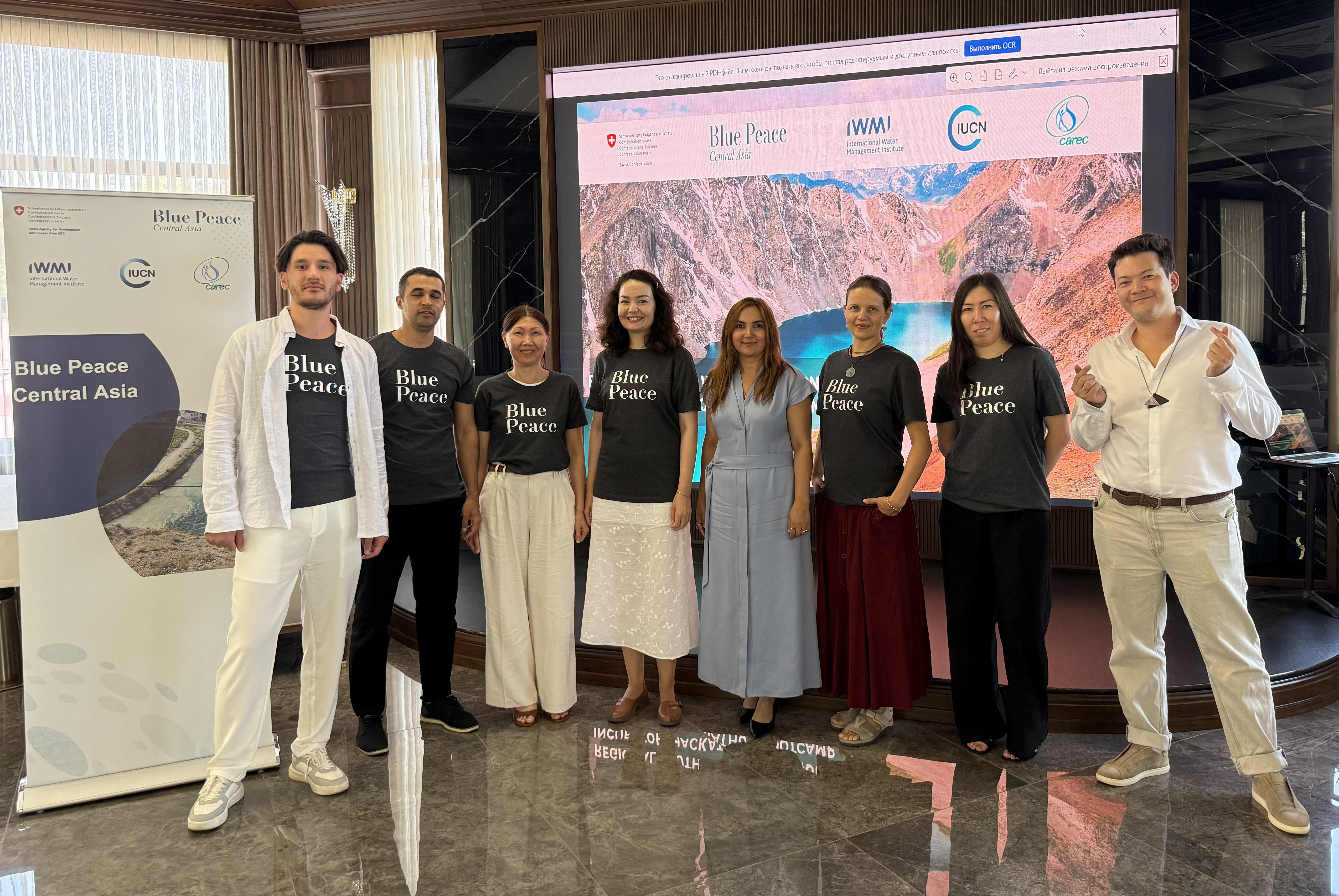
On 9–10 September 2026, the Regional Youth Water Solutions Incubator Bootcamp was held in Samarkand, Uzbekistan, with a focus on developing and strengthening youth-led projects addressing water resource challenges in Central Asia.
The main objective of the Bootcamp was to support participants in the practical refinement of their project proposals, including planning project pilots, strengthening advocacy and public communication skills, and preparing and presenting their project ideas.
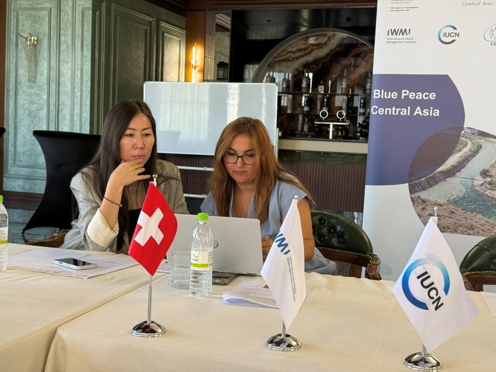
Zhanar Raimbekova, Senior Lecturer at the Department of Meteorology and Hydrology, Faculty of Geography and Environmental Sciences, Al-Farabi Kazakh National University, participated in the Bootcamp as a mentor and Geographic Information Systems (GIS) expert.
As part of the educational programme, she delivered an expert session entitled “Leveraging GIS and Open Spatial Data for Water Projects and Impact Showcasing in Central Asia.”
The presentation introduced practical approaches to using geospatial technologies and open spatial data at different stages of water projects — from problem identification and data collection to spatial analysis, visualization of results, and evidence-based project planning. Particular attention was given to how GIS can transform a general problem statement into measurable spatial evidence that supports informed project decisions.
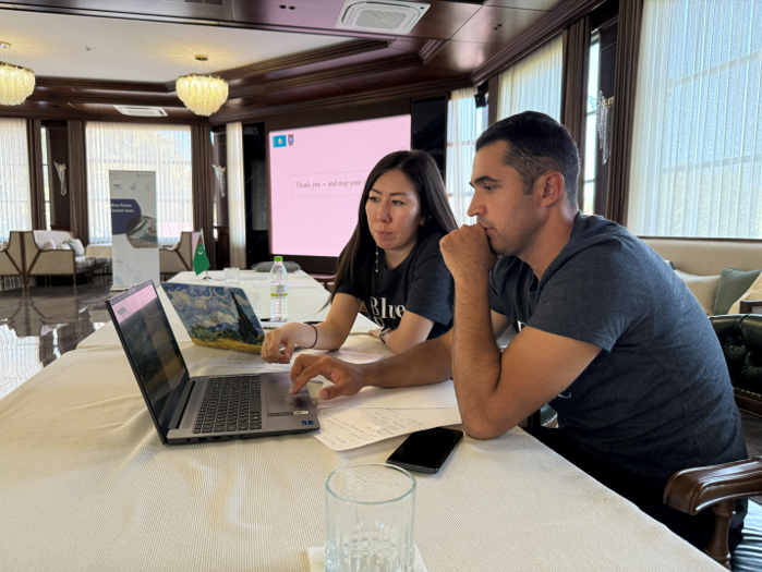
Participants were also introduced to opportunities for using open satellite and geospatial data in water-related projects. The session covered satellite imagery, digital elevation models, climate and infrastructure data, as well as the integration of remote sensing data with field observations. Special attention was given to the use of GIS for assessing and visualizing project impact through a “Before → Intervention → After” approach.
Following the expert presentation, Zhanar Raimbekova participated in mentoring sessions, providing teams with guidance on the application of GIS and spatial data to strengthen their project ideas and support the justification of proposed solutions.
The two-day Bootcamp programme also included the development of logical frameworks and project budgets, planning for project piloting and technical validation, advocacy and sustainability, public communication training, and a final pitching session where participants presented their project proposals.
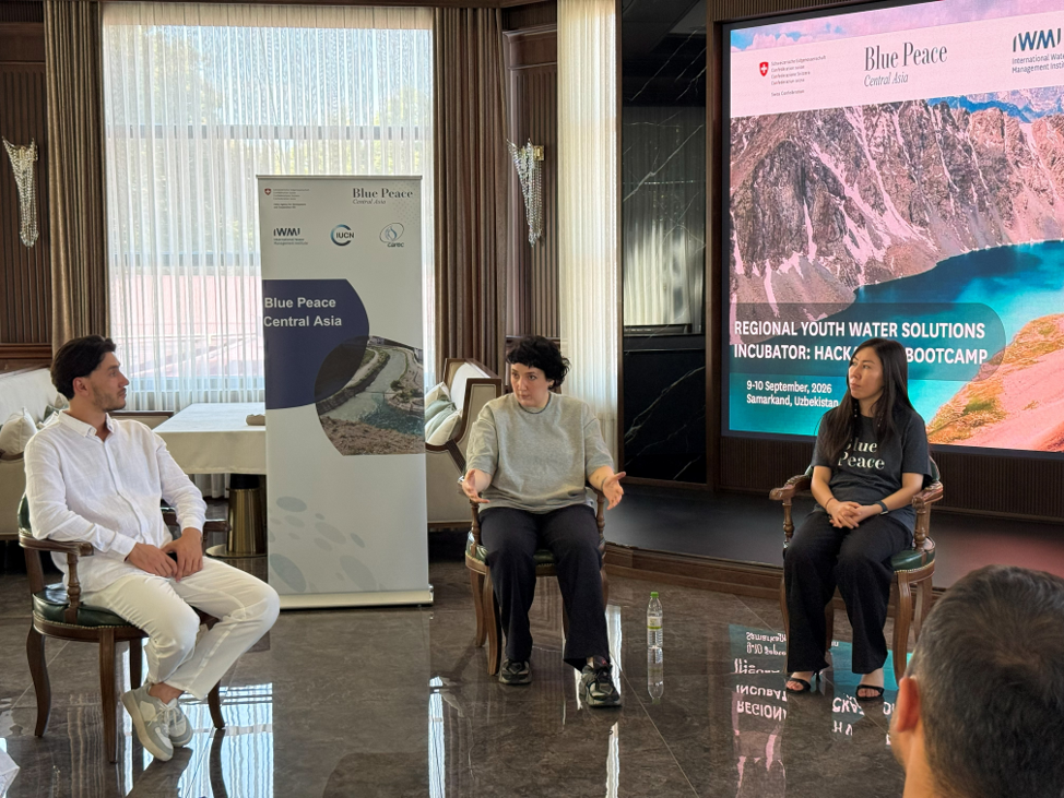
The participation of Faculty members as international experts and mentors contributes to the exchange of scientific and practical expertise, strengthens regional cooperation, and promotes the application of modern geospatial approaches to addressing pressing water resource challenges in Central Asia.
The event also contributes to the implementation of the United Nations Sustainable Development Goals (SDGs), particularly SDG 6: Clean Water and Sanitation, SDG 4: Quality Education, SDG 9: Industry, Innovation and Infrastructure, and SDG 17: Partnerships for the Goals. Supporting youth-led water initiatives, applying modern geospatial technologies, and providing expert mentorship contribute to building the capacity of a new generation of specialists and developing sustainable solutions to water challenges across Central Asia.
Other news